Search


Limit your search
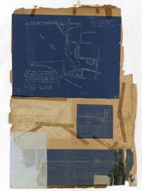
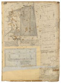
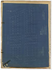
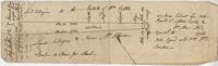
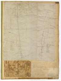
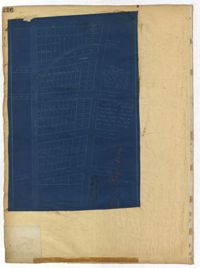
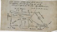
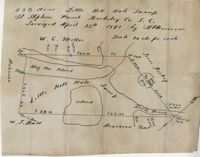
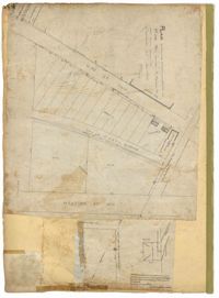
- City Engineers's Plat Book, 1671-1951256
- John McCrady Plats and Deeds Collection246
- Mitchell King Atlas, 1662-169531
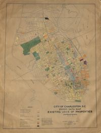
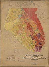
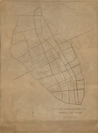
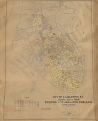
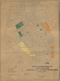
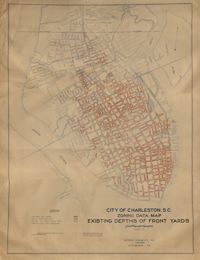
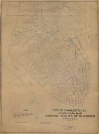
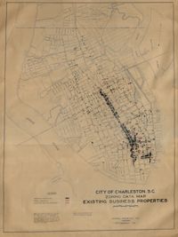
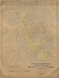
- City of Charleston, SC, Report of the City Planning and Zoning Commission, Zone Maps10
- Ansonborough Rehabilitation Project6
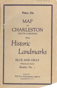
- Historic Charleston Foundation's Map Collection3
- Fairfield Plantation Papers2
- Colleton County Memorial Library Map Collection1
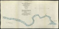
- U.S. Engineer Maps of the Waccamaw River, 19031
- Maps✖[remove]556
- Cadastral maps, Surveys256
- Conveyancing--South Carolina, Maps, Surveying--South Carolina246
- Atlases, History, Modern -- 17th century30
- City Planning--South Carolina--Charleston, Zoning--South Carolina--Charleston--Maps, Charleston10
- Historic preservation--South Carolina--Charleston, Neighborhoods--Conservation and restoration--South Carolina--Charleston, Neighborhood planning--South Carolina--Charleston3
- Neighborhoods--Conservation and restoration--South Carolina--Charleston, Historic buildings--Conservation and restoration--South Carolina--Charleston2
- Slavery, Gardens, Orchards, Plantations--South Carolina--Georgetown County--History2
- Atlases, History, Modern -- 17th century, World maps1
- Neighborhoods--South Carolina--Charleston1
- Real property--South Carolina--Colleton County--Maps1