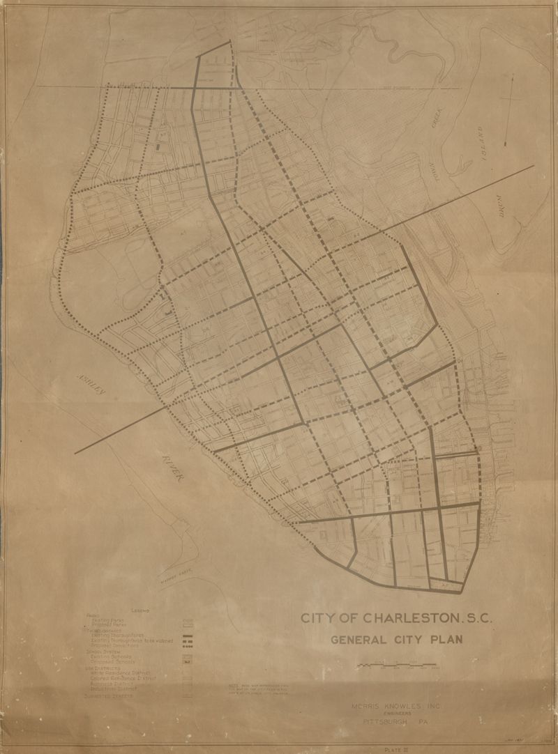
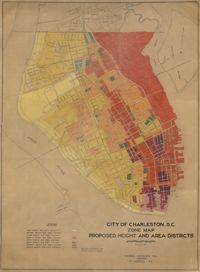
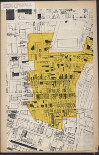
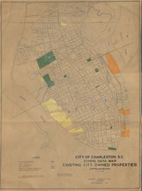
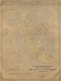
City of Charleston, SC, General City Plan Map, Plate III
Close Viewer
Title:
City of Charleston, SC, General City Plan Map, Plate III
Date:
1931
Creator (Corporate):
City of Charleston and Morris Knowles, Inc.
Description:
Linen map showing existing and proposed parks; thoroughfares; schools; residential, business, and industrial districts; and suggested streets from Murray Boulevard to the northern limits of the city at Mount Pleasant Road. Residential districts are identified by racial makeup and labeled as white residence and colored residence districts. Map is found on page 11 of the Report of the City Planning and Zoning Commission. Map measure 41" by 59".