Search Home
Search in
search for
Simple Search
Page Content Search
Title Search
Creator Search
Subject Search
Search
search icon
Search
Search Constraints
Start Over
You searched for:
Collection
John McCrady Plats and Deeds Collection
✖
Remove constraint Collection: John McCrady Plats and Deeds Collection
Media Type
Maps
✖
Remove constraint Media Type: Maps
« Previous
|
51
-
100
of
246
|
Next »
Sort
by Relevance
Relevance
Title
Date (Newest)
Date (Oldest)
Number of results to display per page
50
per page
10
per page
20
per page
50
per page
100
per page
View results as:
list icon
List
masonry icon
Masonry
Search Results
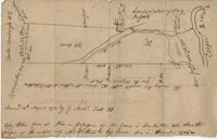
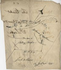
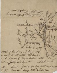
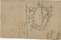
Plat Near Cooper River 1774
Cooper River Plat 1774
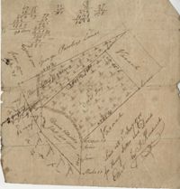
May River Swamp Plat 1775
The Thickets Plat 1775
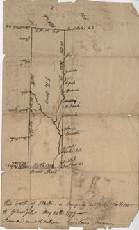
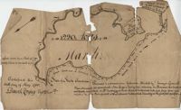
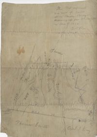
River May 1777
Fairlawn Barony Plat 1777
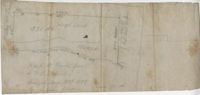
St. Luke's Parish Plat 1779
Wadmalaw Island Plat 1779
St. Paul's Parish Plat 1780
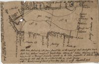
Bohicket Creek Plat 1780
Parris Island Plat 1784
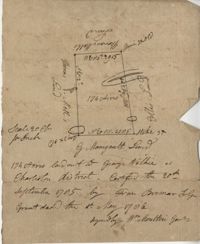
Boggy Branch Plat 1785
Charleston District Plat 1785
Charleston District Plat 1785
Santee River Plat 1786
Black River Plat 1786
Combahee River Plat 1786
St. James Parish Plat 1786
St. Bartholomew's Parish Plat 1786
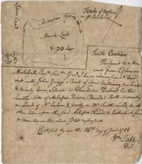
Ashepoo River Plat 1786
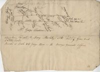
Goose Creek Plat 1786
Peach Plat 1786
Scull Creek Plat 1786
St. Paul's Parish Plat 1787
St. James Parish Plat 1787
Georgetown Plat 1787
Wappoo Creek Plat 1788
Plat in St. John's Parish 1789
Stono River Plat 1789
Sandy Island Plat 1789
Prince Frederick Parish Plat 1789
Johns Island Plat 1789
Williams Plat 1789
Santee River Plat 1789
St. John's Parish 1789
Waccamaw Neck Plat 1790
Pee Dee River Plat 1790
Mary Creek Swamp Plat 1790
Georgetown Plat 1790
Bacon Bridge Plat 1790
Georgetown Plat 1791
Goose Creek Plat 1791
Gray's Hill Plat 1791
Thomas Farr Plat 1791
Black Mingo River Plat 1791
St. John's Parish Plat 1791
Beaufort District Plat 1791
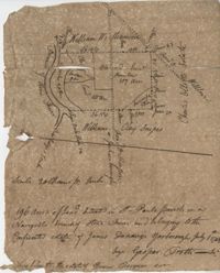
Gaillard Plat 1791
St. George's Parish Plat 1791
Santee River Plat 1792
« Previous
Next »
1
2
3
4
5
Limit your search
Collection
John McCrady Plats and Deeds Collection
✖
[remove]
246
Contributing Institution
South Carolina Historical Society
246
Media Type
Maps
✖
[remove]
246
Subject (Topic)
Conveyancing--South Carolina, Maps, Surveying--South Carolina
246
Subject (Geographic)
Santee River (S.C.)
18
Johns Island (S.C.)
12
Charleston (S.C.)
10
Goose Creek (S.C.)
10
Charleston District (S.C.)
9
Edisto River (S.C.)
7
Ashepoo River (S.C.)
6
Saint Paul’s Parish (Charleston County, S.C.)
6
Stono River (S.C.)
6
Wadmalaw Island (S.C.)
6
more
Subject (Geographic)
»
Date
1791
8
1789
6
1799
6
1795
5
1735
4
1786
4
1790
4
1793
4
1798
4
1711
3
more
Date
»
Date Range (beta)
View distribution
Current results range from
1694
to
1904
Date Range (beta) range begin
Date Range (beta) range end
View larger »
Unknown
55