Cooper River Plat 1774
Close Viewer
- Title:
- Cooper River Plat 1774
- Date:
- 1774
- Description:
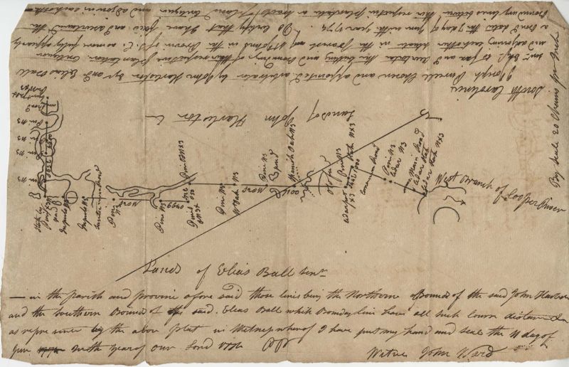
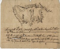
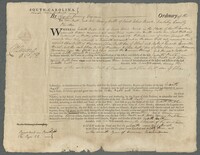
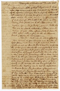
- Plat to identify the boundaries between John Harleston, Elias Ball's property. West branch of Cooper River. Names associated with this plat are Joseph Purcell, John Harleston, Elias Ball and John Ward. Notable geographic locations include the Cooper River and St. John's Parish.
- Collection Title:
- John McCrady Plats and Deeds Collection
- Contributing Institution:
- South Carolina Historical Society
- Media Type:
- Maps
- Personal or Corporate Subject:
- St. John’s Parish (S.C.)
- Topical Subject:
- Conveyancing--South Carolina, Maps, and Surveying--South Carolina
- Geographic Subject:
- Cooper River (S.C.)
- Language:
- English
- Shelving Locator:
- 510.00, Box 2, Folder 65B
- Date Digital:
- 2017-02-10
- Digitization Specifications:
- 400 dpi, 24-bit depth, color, Bookeye 4 Basic, Archival masters are tiffs.
- Internet Media Type:
- image/jpeg
- Copyright Status Statement:
- Public Domain.
- Access Information:
- For more information and re-use requirements contact the South Carolina Historical Society, Charleston, SC, 29401.
- Admin ID:
- 223385
Permalink