Search Home
Search in
search for
Simple Search
Page Content Search
Title Search
Creator Search
Subject Search
Search
search icon
Search
Search Constraints
Start Over
You searched for:
Collection
John McCrady Plats and Deeds Collection
✖
Remove constraint Collection: John McCrady Plats and Deeds Collection
Media Type
Maps
✖
Remove constraint Media Type: Maps
« Previous
|
101
-
150
of
246
|
Next »
Sort
by Relevance
Relevance
Title
Date (Newest)
Date (Oldest)
Number of results to display per page
50
per page
10
per page
20
per page
50
per page
100
per page
View results as:
list icon
List
masonry icon
Masonry
Search Results
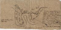
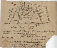
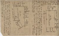
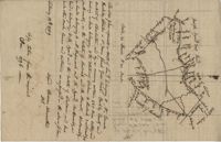
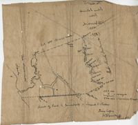
Plat on the Ashepoo River 1793
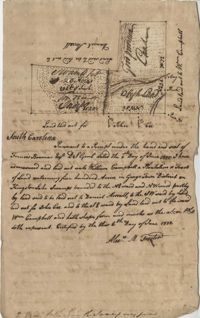
Plat on Stono Swamp 1793
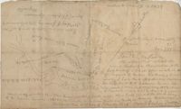
Fairfield County Plat 1793
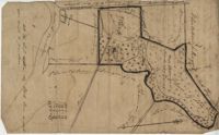
Riverside Plantation Plat 1793
Goose Creek District Plat 1793
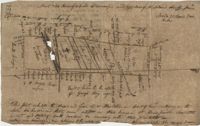
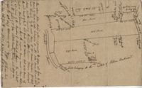
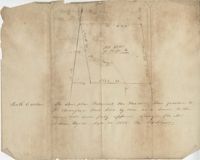
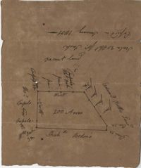
St. John's Parish Plat 1794
Plat of Mulberry Tract 1794
Johns Island Plat 1794
Johns Island Plat 1795
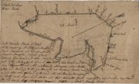
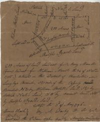
Plat in St. Thomas Parish 1795
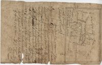
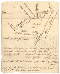
Plat in St. Bartholomew's Parish 1795
Johns Island Plats 1795
Johns Island Plat 1795
Kingston Lake Swamp Plat 1795
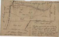
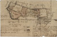
Plat near Tiger Swamp 1796
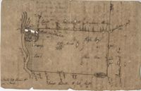
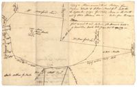
Plat in St. Bartholomew's Parish 1796
St. James Parish Plat 1796
Cooper River Plat 1796
Langley Branch Road Plat 1796
Penny Creek Plat 1796
Freer District Plat 1797
St. Andrew's Parish Plat 1797
St. Paul's Parish Plat 1797
Plat in St. Andrew's Parish 1797
Wadmalaw Island Plat 1798
Wadmalaw Island Plat 1798
Pawley's Island Plat 1798
Wadmalaw Island Plat 1798
Berkeley County Plat 1799
Plat on Stono River 1799
Stono River Plat 1799
St. Andrew's Parish Plat 1799
Plat in St. George Parish 1801
Cypress Plat 1801
Santee River Plat 1801
Johns Island Plat 1801
Goose Creek Plat 1801
Cypress Swamp Plat 1801
Kiawah Creek Plat 1802
Johns Island Plat 1802
Cypress Swamp Plat 1802
Colleton Plat 1802
St.Paul's Parish Plat 1804
Charleston District Plat 1805
Goose Creek Plat 1805
St. Paul's Parish Plat 1805
Hopewell Plantation Plat 1805
Strawberry Bay Plat 1805
Plat on the Ashley River 1806
St. George Parish Plat 1807
« Previous
Next »
1
2
3
4
5
Limit your search
Collection
John McCrady Plats and Deeds Collection
✖
[remove]
246
Contributing Institution
South Carolina Historical Society
246
Media Type
Maps
✖
[remove]
246
Subject (Topic)
Conveyancing--South Carolina, Maps, Surveying--South Carolina
246
Subject (Geographic)
Santee River (S.C.)
18
Johns Island (S.C.)
12
Charleston (S.C.)
10
Goose Creek (S.C.)
10
Charleston District (S.C.)
9
Edisto River (S.C.)
7
Ashepoo River (S.C.)
6
Saint Paul’s Parish (Charleston County, S.C.)
6
Stono River (S.C.)
6
Wadmalaw Island (S.C.)
6
more
Subject (Geographic)
»
Date
1791
8
1789
6
1799
6
1795
5
1735
4
1786
4
1790
4
1793
4
1798
4
1711
3
more
Date
»
Date Range (beta)
View distribution
Current results range from
1694
to
1904
Date Range (beta) range begin
Date Range (beta) range end
View larger »
Unknown
55