St. Andrew's Parish Plat 1797
Close Viewer
- Title:
- St. Andrew's Parish Plat 1797
- Date:
- 1797
- Description:
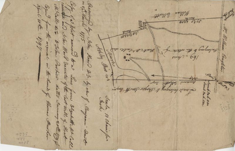
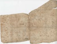
- 169 acre plot given to Kent McCall, shows roads and surrounding neighbors, shows the Ashley River and some trees on the property borders. Names associated with this plat are Kent McCall, Thomas Parker, Roger Smith, Burnard Elliott, Crughtton, William Elliott, John Heard, Benjamin Dart, Elizabeth McCall, John Ward, John Parker, and Thomas Parker. Notable geographic locations include St. Andrew's Parish and the Ashley River.
- Collection Title:
- John McCrady Plats and Deeds Collection
- Contributing Institution:
- South Carolina Historical Society
- Media Type:
- Maps
- Personal or Corporate Subject:
- Saint Andrew's Parish (S.C.)
- Topical Subject:
- Conveyancing--South Carolina, Maps, and Surveying--South Carolina
- Geographic Subject:
- Ashley River (S.C.)
- Language:
- English
- Shelving Locator:
- 510.00, Box 3, Folder 7
- Date Digital:
- 2017-02-14
- Digitization Specifications:
- 400 dpi, 24-bit depth, color, Bookeye 4 Basic, Archival masters are tiffs.
- Internet Media Type:
- image/jpeg
- Copyright Status Statement:
- Public Domain.
- Access Information:
- For more information and re-use requirements contact the South Carolina Historical Society, Charleston, SC, 29401.
- Admin ID:
- 223295
Permalink