Freer District Plat 1797
Close Viewer
- Title:
- Freer District Plat 1797
- Date:
- 1797
- Description:
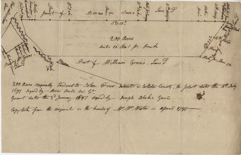
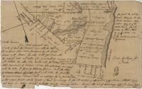
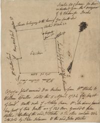
- 200 Acre plot of land laid out to John Freer, shows some creeks and trees, no land type or details. Names associated with this plat are John Freer, Stephen Bull, Joseph Blake, William Weston, William Green, and B. Sam. Notable geographic locations include Colleton County, Freer District, and Wadmalaw River.
- Collection Title:
- John McCrady Plats and Deeds Collection
- Contributing Institution:
- South Carolina Historical Society
- Media Type:
- Maps
- Topical Subject:
- Conveyancing--South Carolina, Maps, and Surveying--South Carolina
- S.C. County:
- Colleton County (S.C.)
- Language:
- English
- Shelving Locator:
- 510.00, Box 2, Folder 19
- Date Digital:
- 2016-02-22
- Digitization Specifications:
- 400 dpi, 24-bit depth, color, Bookeye 4 Basic, Archival masters are tiffs.
- Internet Media Type:
- image/jpeg
- Copyright Status Statement:
- Public Domain.
- Access Information:
- For more information and re-use requirements contact the South Carolina Historical Society, Charleston, SC, 29401.
- Admin ID:
- 223242
Permalink