Search Home
Search in
search for
Simple Search
Page Content Search
Title Search
Creator Search
Subject Search
Search
search icon
Search
Search Constraints
Start Over
You searched for:
Media Type
Maps
✖
Remove constraint Media Type: Maps
Subject (Topic)
Maps
✖
Remove constraint Subject (Topic): Maps
« Previous |
1
-
20
of
246
|
Next »
Sort
by Date (Newest)
Relevance
Title
Date (Newest)
Date (Oldest)
Number of results to display per page
20
per page
10
per page
20
per page
50
per page
100
per page
View results as:
list icon
List
masonry icon
Masonry
Search Results
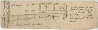
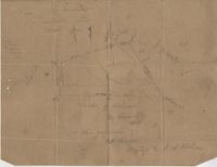
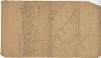
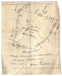
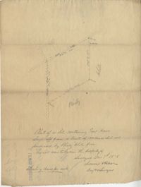
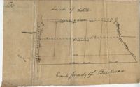
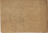
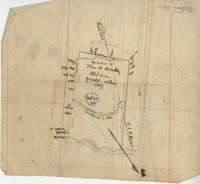
St. Paul's Parish Plat 1904
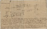
Plat Adjacent to Meeting Street 1899
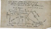
St. Stephen's Parish Plat 1891
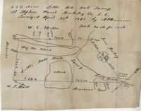
Little Hell Hole Swamp Plat 1891
Santee River Plat 1890
Black River Plat 1888
Plat in St. Andrew's Parish 1886
Ladson Plat 1885
The Hut Plat 1883
Plat near 7 Mile 1881
Ocean Bay Plat 1880
St. James Parish Plat 1879
Dill's Bluff Plat 1878
Beaufort District Plat 1875
Plat with Episcopal Church 1875
Oakatie Creek Plat 1875
Savannah River Plat 1865
Plat in St. Andrew's Parish 1859
Wadmalaw Island Plat 1859
Santee River Plat 1857
« Previous
Next »
1
2
3
4
5
…
12
13
Limit your search
Collection
John McCrady Plats and Deeds Collection
246
Contributing Institution
South Carolina Historical Society
246
Media Type
Maps
✖
[remove]
246
Subject (Topic)
Conveyancing--South Carolina
246
Maps
✖
[remove]
246
Surveying--South Carolina
246
Subject (Geographic)
Charleston District (S.C.)
24
Santee River (S.C.)
20
Johns Island (S.C.)
17
Goose Creek (S.C.)
15
Charleston (S.C.)
13
Saint Paul’s Parish (Charleston County, S.C.)
11
Edisto River (S.C.)
9
Stono River (S.C.)
9
Ashepoo River (S.C.)
7
Savannah River (Ga. and S.C.)
7
more
Subject (Geographic)
»
Date
1791
8
1789
6
1799
6
1795
5
1735
4
1786
4
1790
4
1793
4
1798
4
1711
3
more
Date
»
Date Range (beta)
View distribution
Current results range from
1694
to
1904
Date Range (beta) range begin
Date Range (beta) range end
View larger »
Unknown
55