A guide to many points of historic interest in Charleston, presented as a sightseeing stroll or drive. Released through the Office of Port Development, City of Charleston. One folded sheet (6.25" x 24.5" folded to 6.25" x 3.5").
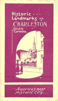
Guidebook to Charleston, containing a history of Charleston; descriptions of many points of interest; street guide; and map featuring ward boundaries and points of interest. Advertisements interspersed throughout. Published by Walker, Evans & Cogswell. 95 p. : ill., fold. map ; 20 cm.
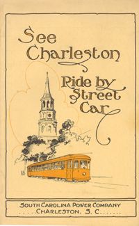
Guide to how to reach many places of interest in Charleston by street car. Includes route information, time tables, running times, and a guide map of Charleston with routes highlighted. Published by Southern Printing & Publishing Co. (Charleston, S.C.). 12 p., 16 cm. + 1 map, 19 x 27 cm. folded to 10 x 15 cm.
Provides local history and information on various sites and points of interest. Also includes advertisements for local businesses, sites, artists, etc., and a map of Charleston (1930). "Winter 1929-30." Published by W.W. De Renne (Savannah, Ga.). 16 p. : ill., map ; 23 cm.
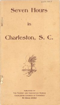
A ready reference to the most important points of historic interest in and around Charleston. Published by The Tourist and Convention Bureau, Charleston Chamber of Commerce, 50 Broad Street. 19 p., 16 cm.