This one-page typed document provides information regarding the property at the East end of Calhoun Street, known as Gadsden's Wharf. The land ownership is traced back to 1696 under Issac Mazyck. Land development beginning in 1746 under Captain George Anson is also discussed, including the construction of a canal and wharf in Charleston. Changes in street names since the city's early days are also mentioned.
Provided on the front of this two-sided typed document is information regarding the property at the East end of Calhoun Street, known as Gadsden's Wharf. The land ownership is traced back to 1696 under Issac Mazyck. Land development beginning in 1746 under Captain George Anson is also discussed, including the construction of a canal and wharf in Charleston. Changes in street names since the city's early days are also mentioned. A small piece of paper taped to the back reads: "Kindness of: Mr. Gedney M. Howe."
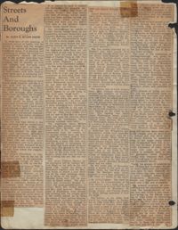
Map of Ansonborough showing Meeting Street, King Street, Hasell Street, Maiden Street, Old Church Street, Bay Street, and others. A small piece of paper taped to the back reads: "Kindness of: Mr. Gedney M. Howe."
Provided on the front of this two-sided typed document is information regarding the property on the city block between Calhoun, Meeting, George, and King Streets. A small piece of paper taped to the back reads: "Kindness of: Mr. Gedney M. Howe."
Neighborhoods--Conservation and restoration--South Carolina--Charleston, Historic buildings--Conservation and restoration--South Carolina--Charleston✖[remove]6