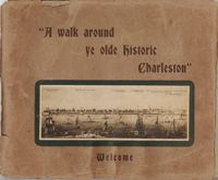
Guide for a walking tour of Charleston, containing a brief history of Charleston; descriptions of each location on the tour; and photographs of notable buildings. Published by Lanneau's Art Store (Charleston, S.C.). [6] p., [24] leaves : ill. ; 27 x 32 cm.
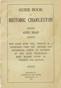
Presents "in a condensed form the historic and interesting points of interest in and near Charleston most sought after by tourists and visitors." Includes "interesting facts about the first churches and congregations; old historic buildings, halls and colleges; historical houses; relics of the old days; queer streets, alleys and lanes; parks, squares, cemeteries." Map of the peninsula includes "a sketch of the resorts and historical points in and around Charleston." Cover title: Guide Book of Historic Charleston and Map. Published by Lanneau's Art Store (Charleston, S.C.). 24 p., 16 cm. + 1 map, 40 x 50 cm. folded to 10 x 14 cm. (Note: paging begins at page 3.)
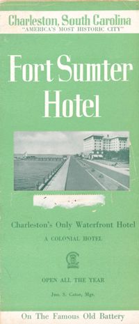
Brochure for the Fort Sumter Hotel [1 King Street]. Includes description and floor plan of the hotel, information about Charleston, and photographs of points of interest. Also includes map showing travel routes to Charleston from Jacksonville, Florida, to New York, New York. "A Colonial Hotel. Jno. S. Cator, Mgr." One sheet : ill., map ; 23 x 41 cm., folded to 23 x 10 cm.
Guidebook to Charleston, containing a history of Charleston; descriptions of many points of interest; street guide; and map featuring ward boundaries and points of interest. Advertisements interspersed throughout. Published by Walker, Evans & Cogswell. 95 p. : ill., fold. map ; 20 cm.
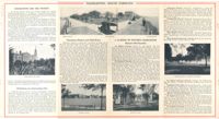
Descriptions of some points of historic interest in and around Charleston, with suggestions on what to see and how to see it. Illustrated with photographs. Published by Walker, Evans & Cogswell. [5] p. derived from two folded sheets (1st sheet 23 x 41 cm. folded to 10 x 23 cm.; 2nd sheet 23 x 81 cm. folded to 23 x 10 cm.).
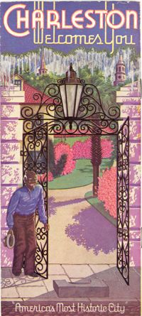
Travel brochure. Includes brief description of Charleston history, points of interest, hotels, and recreational activities, and a map featuring travel routes to Charleston between Jacksonville, Florida to New York, New York. Designed by Advertising Service Agency and printed by J.J. Furlong & Sons, Charleston, SC. Two sheets : ill., map ; 23 x 41 cm., folded (quartered) to 23 x 10 cm.
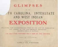
Souvenir booklet entitled Glimpses of the South Carolina, Interstate and West Indian Exposition Including Some Characteristic Views of the City of Charleston and Scenes at the Pan-American Exposition Recently Held at Buffalo: 126 Half-tone Pictures and a Map of the Grounds. Booklet contains captioned photographs, including some with descriptive text. Measures 13 x 18 cm. Note: HCF's copy has 40 pages of this publication of which 38 pages are plates (photographs), and is therefore missing several pages based on the physical description in the WorldCat catalog record (128 plates and a folded map).
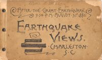
Souvenir booklet containing photographs of the aftermath of the Charleston Earthquake of 1886, featuring the damage done to buildings. Published by Walker, Evans & Cogswell (Charleston, S.C.), 1886. Photographs by Heliotype Printing Co., Boston, Mass. [24] leaves of plates, 12 x 20 cm.
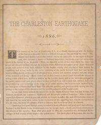
Photographs of the damage caused by the Charleston Earthquake of 1886. Photos are captioned with details, including the dollar amount of the damage. Introductory text by Alex. M. Cochran. Also includes advertisements for a variety of Charleston businesses, trades, merchants, and professionals. Publisher unknown. 70 p.; 24 cm.
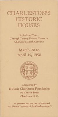
Descriptions and photographs of the historic houses on tour in 1950. Published by Historic Charleston Foundation, 1950; printed by Walker, Evans & Cogswell. Sixty-nine pages. (Note: All a/k/a references pertain to the name of the house as listed in Jonathan Poston's book The Buildings of Charleston: A Guide to the City's Architecture; USC Press, 1997.)