Route 7 Photo 3
Close Viewer
- Title:
- Route 7 Photo 3
- Date:
- 1965
- Creator (Corporate):
- South Carolina. Dept. of Transportation
- Description:
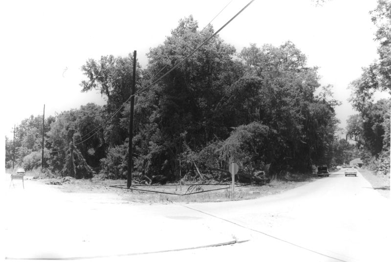
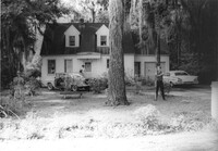
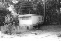
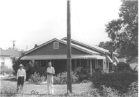
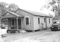
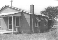
- Site affected by the widening of Routes 7 & 171. Surveyor notations on back of photo: "Dkt.: 10.551. Property owner: Lucille S. Dwight. Tract: 2. Station: 120±00 Lt. Date: Jul. 22, 1965. Looking west from Rd. S-80 of range poles on corners of ? area. [See collection description for explanation of surveyor notations.]
- Collection Title:
- SCDOT Photographs: Properties in the Right-of-Way
- Contributing Institution:
- Historic Charleston Foundation
- Media Type:
- Images
- Topical Subject:
- Right of way--South Carolina--Charleston County and Highway planning--South Carolina--Charleston County
- Geographic Subject:
- Charleston County (S.C.)--Buildings, structures, etc.
- S.C. County:
- Charleston County (S.C.)
- Shelving Locator:
- 2009.022.1, photo ID# 1-3,DOTPhoto_0009
- Date Digital:
- 2011-07
- Digitization Specifications:
- 600 ppi, 24-bit depth color, HP Scanjet 4890. Archival Masters are tiffs.
- Copyright Status Statement:
- Digital image copyright 2010, Historic Charleston Foundation. All rights reserved. For more information contact Margaretta Childs Archives at HCF, P.O. Box 1120, Charleston, SC 29402.
- Admin ID:
- 35296
Permalink