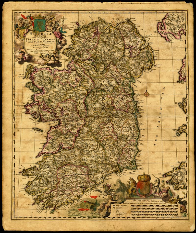
11. Hiberniae Regnum tam in praecipuas Ultoniae, Connaciae, Lageniae, et Momoniae
Close Viewer
Title:
11. Hiberniae Regnum tam in praecipuas Ultoniae, Connaciae, Lageniae, et Momoniae
Date:
1690
Creator (Personal):
Visscher, Nicolaes, 1649-1702
Description:
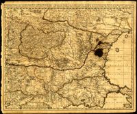
Decorative map of Ireland by Nicolaes Visscher (1649-1702). Impressive title cartouche with Pan and the Gaelic harp. Highly decorative scale of miles references William III, king of England, Scotland and Ireland 1689-1702. Visscher created this map shortly after William Petty's exhaustive survey of Ireland (the Down Survey) was published. Amsterdam. 52 x 62cm.
Hiberniae Regnum tam in praecipuas Ultoniae, Connaciae, Lageniae, et Momoniae quam in minores earundem Provincias, et Ditiones subjacentes peraccurate divisum