Plat East of Pon Pon River 1771
Close Viewer
- Title:
- Plat East of Pon Pon River 1771
- Date:
- 1771
- Description:
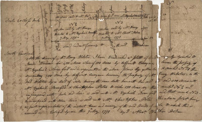
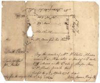
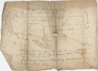
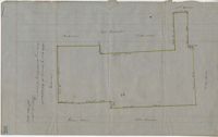
- 400 acres of land once owned by James Wrixon, then Purchas Morgan, and then Henry Webster who conveyed the land to Ezekiel Branford and Christopher Peters. 250 acres came to the ownership of Ezekiel Branford (N1 and N2) and the remaining 150 acres owned by Christopher Peters (N3). The dates of purchase can be found on the plat. The lands contain pine, gum, cypress, white oak and hickory trees. The lands lie to the east of the Ponpon River. Names associated with this plat include Henry Webster, James Wrixon, Ezekiel Branford, Christopher Peters, Purchas Morgan and Alexander Watkin.
- Collection Title:
- John McCrady Plats and Deeds Collection
- Contributing Institution:
- South Carolina Historical Society
- Media Type:
- Maps
- Topical Subject:
- Conveyancing--South Carolina, Maps, and Surveying--South Carolina
- Geographic Subject:
- Saint Paul’s Parish (Charleston County, S.C.)
- S.C. County:
- Charleston County (S.C.) and Colleton County (S.C.)
- Language:
- English
- Shelving Locator:
- 510.00, Box 1, Folder 2
- Date Digital:
- 2016-01-25
- Digitization Specifications:
- 400 dpi, 24-bit depth, color, Bookeye 4 Basic, Archival masters are tiffs.
- Internet Media Type:
- image/jpeg
- Copyright Status Statement:
- Public Domain.
- Access Information:
- For more information and re-use requirements contact the South Carolina Historical Society, Charleston, SC, 29401.
- Admin ID:
- 223370
Permalink