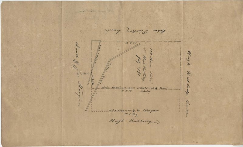
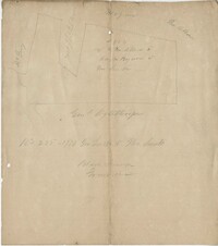
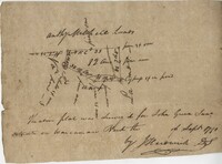
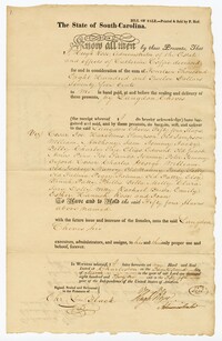
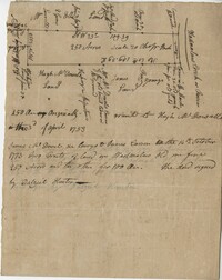
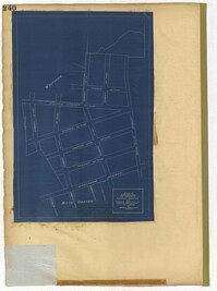
Rutledge Plat
Title:
Rutledge Plat
Date:
1791
Description:
Plat includes 110 acres sold to Hugh Rutledge and surrounded by other properties owned by him. Property sold to Rutledge in July of 1791. Names associated with this plat are Hugh Rutledge, Charles Pinckney, and James Stanyuin [?].
Collection Title:
John McCrady Plats and Deeds Collection Contributing Institution:
South Carolina Historical Society Media Type:
Maps Personal or Corporate Subject:
Pinckney family
Topical Subject:
Conveyancing--South Carolina , Maps , and Surveying--South Carolina Geographic Subject:
Saint Paul’s Parish (Charleston County, S.C.) S.C. County:
Charleston County (S.C.)
Language:
English
Shelving Locator:
510.00, Box 2, Folder 10
Date Digital:
2016-02-22
Digitization Specifications:
400 dpi, 24-bit depth, color, Bookeye 4 Basic, Archival masters are tiffs.
Internet Media Type:
image/jpeg
Copyright Status Statement:
Public Domain.
Access Information:
For more information and re-use requirements contact the South Carolina Historical Society, Charleston, SC, 29401.
Admin ID:
223233