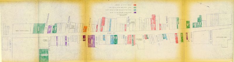
King Street Survey Map 2: King Street from Calhoun to Columbus - Historical Significance
Close Viewer
Title:
King Street Survey Map 2: King Street from Calhoun to Columbus - Historical Significance
Date:
1967
Creator (Corporate):
Historic Charleston Foundation
Description:
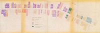
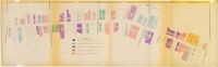
One of four maps of King Street building footprints, hand-colored to designate status. This map illustrates the historical significance of buildings on King Street from Calhoun Street to Columbus Street.