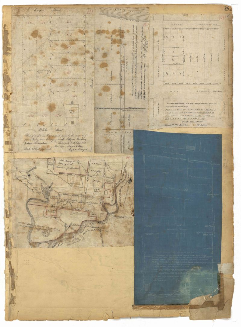
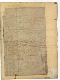
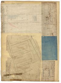
Page 81 of the City Engineer's Plat Book with five plats. Plat 1 shows lots between Cooper Street and Blake Street, near their intersections with Drake Street. Plat 2 features an extension of Columbus Street stretching from Bay Street to the Cooper River, and also shows lots belonging to a cotton factory, the Northeastern Railroad Company (N.E.R.R. Co.), and the South Carolina Railway Company (So. Ca. R. Way Co.). Plat 3 features lots on a city block between Blake Street, Cooper Street, Drake Street, and Bay Street. Plat 4 shows land near Boundary Street, Pinckney Street, Doughty Street, and "Commings Creek." It also shows an island, a mill pond, several lots in the area, Hutson Street, Thomas Street, and President Street. Plat 5 shows land located between Calhoun Street and Bull Street, and Lynch Street and Rutledge Street, including Cannon Park.
This City of Charleston has placed this collection on permanent loan with the Charleston County Public Library. For more information and reuse requirements contact The Charleston Archive at Charleston County Public Library, 68 Calhoun Street, Charleston, SC 29411.