Search
« Previous |
1 - 10 of 35
|
Next »
Search Results
Description:
Color-coded map of area bounded by Wentworth Street, Meeting Street, Market Street, and King Street.
Description:
Document summarizing a letter to the Commanding General, Eastern Defense Command, from Captain James F. Reeves regarding the use of photographs of the Charleston area for the exhibit.
Description:
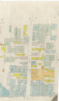
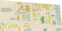
Color-coded map of area between Society Street and Wentworth Street at Meeting Street..
Description:
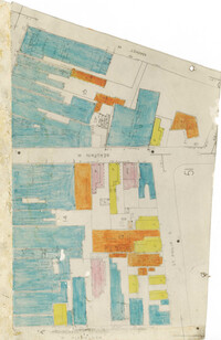
Color-coded map of area bounded by Wentworth Street, Coming Street, George Street, and Glebe Street.
Description:
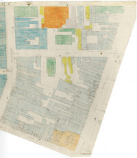
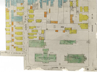
Color-coded map of area near where Market Street and Beaufain Street meet..
Description:
Color-coded map of area bounded by Broad Street, Legare Street, and Queen Street.
Description:
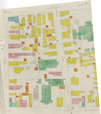
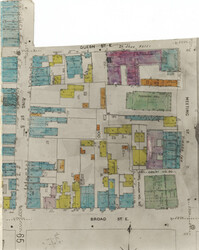
Color-coded map of area bounded by Meeting Street, Broad Street, Queen Street, and King Street.
Description:
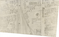
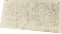
Map (not color-coded) of area around Reid Street and Meeting Street
Description:
Color-coded map of area around Vanderhorst Street, near a police station and St. Paul's Episcopal Church.
Description:
Map (not color-coded) of area between Cannon Street ad Spring Street