Search Home
Search in
search for
Simple Search
Page Content Search
Title Search
Creator Search
Subject Search
Search
search icon
Search
Search Constraints
Start Over
You searched for:
Subject (Topic)
Conveyancing--South Carolina, Maps, Surveying--South Carolina
✖
Remove constraint Subject (Topic): Conveyancing--South Carolina, Maps, Surveying--South Carolina
Date Range (beta)
1840
to
1849
✖
Remove constraint Date Range (beta): <span class="from" data-blrl-begin="1840">1840</span> to <span class="to" data-blrl-end="1849">1849</span>
1
-
7
of
7
Sort
by Relevance
Relevance
Title
Date (Newest)
Date (Oldest)
Number of results to display per page
100
per page
10
per page
20
per page
50
per page
100
per page
View results as:
list icon
List
masonry icon
Masonry
Search Results
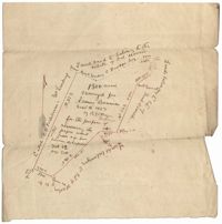
Bowman Plat 1843
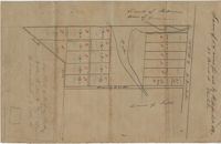
Wappoo Creek Plat 1844
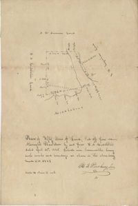
Newington Plantation Plat 1845
Wadmalaw River Marsh Plat 1845
Wassamassaw Swamp Plat 1848
St. John's Parish Plat 1848
Georgetown District Plat 1848
Limit your search
Collection
John McCrady Plats and Deeds Collection
7
Contributing Institution
South Carolina Historical Society
7
Media Type
Maps
7
Subject (Topic)
Conveyancing--South Carolina, Maps, Surveying--South Carolina
✖
[remove]
7
Subject (Geographic)
Charleston District (S.C.)
1
Goose Creek (S.C.)
1
Santee River (S.C.)
1
Summerville (S.C.)
1
Date
1848
3
1843-09-16
1
1844
1
1845-02
1
1845-04-24
1
Date Range (beta)
1840
to
1849
✖
[remove]
7
1840
to
1840
0
1841
to
1841
0
1842
to
1842
0
1843
to
1843
1
1844
to
1844
1
1845
to
1845
2
1846
to
1846
0
1847
to
1847
0
1848
to
1848
3
1849
to
1849
0
Current results range from
1843
to
1848
Date Range (beta) range begin
Date Range (beta) range end
View larger »