Search
Search Results
Description:
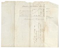
192 acres of land laid out for Charles Brown. Names associated with this plat are Charles Brown and Sumners.
Description:
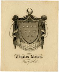
Crest for Charles Alston of Fairfield Plantation.
Description:
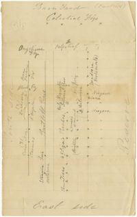
Chart mapping the placement of fruit trees and herbs in garden near barnyard at Fairfield Plantation. Handwritten notes on back of map.
Description:
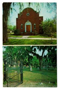
Color photographic postcard of the exterior of Temple Beth Elohim and the Jewish cemetery in Georgetown.
Description:
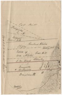
An undated, hand-drawn map of plantations along the Waccamaw River in Georgetown, South Carolina.
Description:
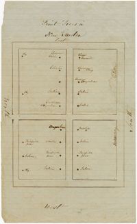
Chart mapping the placement of fruit trees in a new garden at Fairfield Plantation. Handwritten note on back of map.
Description:
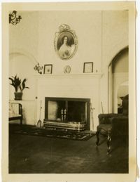
Black and white photograph of Fairfield Plantation mansion interior. Photograph includes fireplace, mantle, portraits, and furniture.
Description:
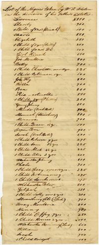
A list of enslaved people taken by W.A. Alston in the division of his father's estate. List includes the names and prices of enslaved women, men, and children. List also includes various information about enslaved individuals, such as plantation of origin, work skills, physical ailments, and ages of children.
Description:
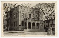
A postcard of the Masonic Temple in Georgetown, S.C.