Search
« Previous |
31 - 40 of 81
|
Next »
Search Results
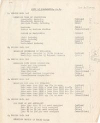
- Description:
- Description of the layout and format of the map of Charleston for the Charleston Metropolitan Area Exhibit at the Gibbes Art Gallery rotunda.
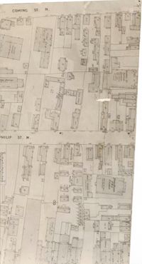
- Description:
- Map (not color-coded) of area between Coming Street and St. Philip Street near Morris Brown A.M.E. Church.
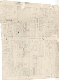
- Description:
- Map (not color-coded) of area where Bogard Street meets St. Philip Street, bounded by King Street.
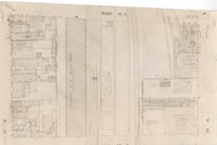
- Description:
- Map (not color-coded) of area on Mary Street at Southern Railroad Freight Depot.
- Description:
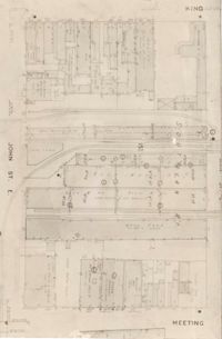
- Map (not color-coded) of area bounded by King Street, Ann Street, Meeting Street, and John Street
- Description:
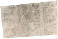
- Map (not color-coded) of area around Woolfe Street at the Southern Ice Co.
- Description:
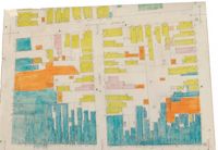
- Color-coded map of area where Liberty Street meets St. Philip Street.
- Description:
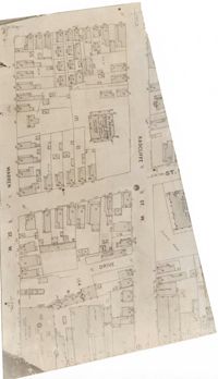
- Map (not color-coded) of area between Radcliffe Street and Warren Street at St. Patrick's Catholic School.
- Description:
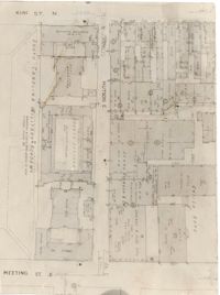
- Map (not color-coded) of area between King Street and Meeting Street at Hutson Street (SC Military Academy).
- Description:
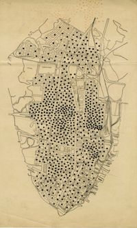
- Map of peninsula.