Search Home
Search in
search for
Simple Search
Page Content Search
Title Search
Creator Search
Subject Search
Search
search icon
Search
Search Constraints
Start Over
You searched for:
Media Type
Maps
✖
Remove constraint Media Type: Maps
Date Range (beta)
1880
to
1884
✖
Remove constraint Date Range (beta): <span class="from" data-blrl-begin="1880">1880</span> to <span class="to" data-blrl-end="1884">1884</span>
« Previous |
1
-
10
of
18
|
Next »
Sort
by Relevance
Relevance
Title
Date (Newest)
Date (Oldest)
Number of results to display per page
10
per page
10
per page
20
per page
50
per page
100
per page
View results as:
list icon
List
masonry icon
Masonry
Search Results
The Hut Plat 1883
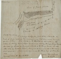
Plat near 7 Mile 1881
Ocean Bay Plat 1880
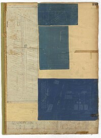
City Engineers's Plat Book, 1671-1951, Page 233
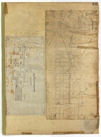
City Engineers's Plat Book, 1671-1951, Page 223
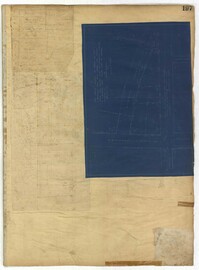
City Engineers's Plat Book, 1671-1951, Page 211
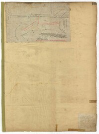
City Engineers's Plat Book, 1671-1951, Page 197
City Engineers's Plat Book, 1671-1951, Page 199
City Engineers's Plat Book, 1671-1951, Page 186
City Engineers's Plat Book, 1671-1951, Page 167
« Previous
Next »
1
2
Limit your search
Collection
City Engineers's Plat Book, 1671-1951
15
John McCrady Plats and Deeds Collection
3
Contributing Institution
City of Charleston
15
The Charleston Archive at CCPL
15
South Carolina Historical Society
3
Media Type
Maps
✖
[remove]
18
Subject (Topic)
Cadastral maps
15
Surveys
15
Conveyancing--South Carolina
3
Maps
3
Surveying--South Carolina
3
Subject (Geographic)
Charleston (S.C.)
15
Johns Island (S.C.)
1
Santee (S.C.)
1
Date
1884
6
1880
3
1881
3
1883
3
1888
2
1788
1
1804
1
1847
1
1856
1
1872
1
more
Date
»
Date Range (beta)
1880
to
1884
✖
[remove]
18
1880
to
1880
4
1881
to
1881
3
1882
to
1882
1
1883
to
1883
4
1884
to
1884
6
Current results range from
1880
to
1884
Date Range (beta) range begin
Date Range (beta) range end
View larger »