Page 246 of the City Engineer's Plat Book with one plat. The plat shows lots located between Rutledge Avenue and the Ashley River. Groups of lots are labelled with red letters. The plat also shows Darlington Avenue, Ashley Avenue, Piedmont Avenue, Hester Street, Clemson Street, Maple Street, Peachtree Street, Poplar Street, Pendleton Street, and Sans Souci Street.
Page 250 of the City Engineer's Plat Book with one plat. The plat shows lots between Romney Street and Williman Street, and east of Meeting Street. The plat also shows Isabella Street.
Page 252 of the City Engineer's Plat Book with two plats. Plat 1 shows lots on and near Lenwood Street, between South Bay Street and Boulevard Drive. Plat 2 shows lots located on and near the intersection of Huger Street and Rutledge Avenue.
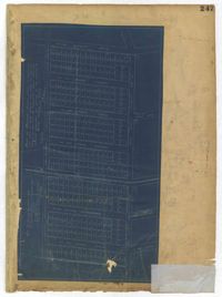
Page 244 of the City Engineer's Plat Book with three plats. Plat 1 shows lots and structures located along Maple Street, near where it intersects with Meeting Street. Plat 2 features a lot located on the east side of Tenth Street, between St. Margaret Street and Grove Street. Plat 3 shows land located near the intersection of State Street and Cumberland Street.
Page 251 of the City Engineer's Plat Book with two plats. Plat 1 shows Meeting Street, Williman Street, and Romney Street. Plat 2 shows lots located on and near America Street, Lee Street, Cooper Street, and Drake Street.
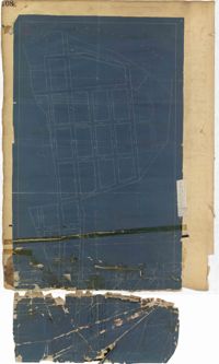
Page 247 of the City Engineer's Plat Book with one plat. The plat shows lots located from the west side of Ashley Avenue to King Street, between Mount Pleasant and Sans Souci Street. The plat also shows Darlington Street, Rutledge Avenue, Magnolia Street, Tracy Street, and Laurel Avenue.
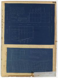
Page 245 of the City Engineer's Plat Book with two plats. Plat 1 shows lots located on and near Seyle Street, between Huger Street and Moultrie Street. Plat 2 shows lots on and near Grove Street, between Rutledge Avenue and King Street. Plat 2 also shows Tracy Street.
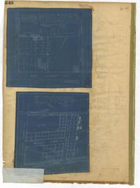
Page 248 of the City Engineer's Plat Book with two plats. Plat 1 shows lots and structures located between Wescott Court and President Street, north of Bee Street. Plat 2 shows lots on and near Huger Street, King Street, Congress Street, and Benson Street.
Page 208 of the City Engineer's Plat Book with one plat. The plat shows streets located between the Ashley River and Rutledge Avenue. It also shows Dunnemann Avenue, Grove Street, and Wagener Avenue.
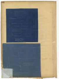
Page 243 of the City Engineer's Plat Book with three plats. Plat 1 features lots along Cumberland Street, near where it intersects with State Street. The second plat features "City Lands West of President Street and South of Congress Street." It also labels reading "Old Folks Holme," "Grave Yard Old Folks Home," "City Board of Public School Commissioners," and "Colored Industrial School." Plat 3 shows lots located west of Meeting Street, and also shows Cooper Street, Lee Street, Sheppard Street, and Sumter Street.