Search
« Previous |
81 - 100 of 7,766
|
Next »
Search Results
Description:
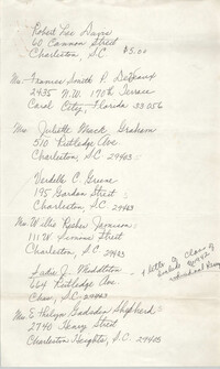
Handwritten directory for the Avery Normal Institute Class of 1942.
Description:
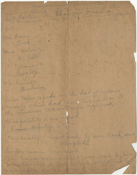
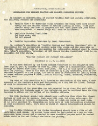
Handwritten document regarding the Management Committee for the Coming Street Y.W.C.A..
Description:
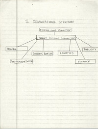
Chart of the organizational structure of the Freedom Fund Committee.
Description:
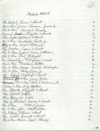
List of names from work.
Description:
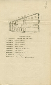
Map of area bounded by Archdale, Market, King and Beaufain Streets.
Description:
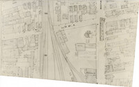
Map (not color-coded) of area around Reid Street and Meeting Street
Description:
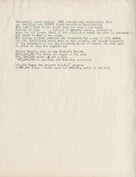
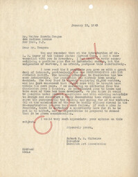
Document regarding housing in Charleston for war workers.
Description:
"Notes on the Housing Authority of the City of Charleston," listing statistics from the "Real Property Inventory" of 1934 and housing data from the 1940 Census.
Description:
Memorandum, Guiding Traffic and Parking Committee Studies in Charleston, SC.
Description:
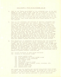
"Some Things a Group of Committees Can Do."
Description:
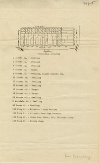
Map of area bounded by Jacob's Alley, Queen, King, and Archdale Street.
Description:
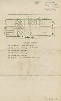
Map of area bounded by Burns Lane, Meeting, Calhoun, and King Street.
Description:
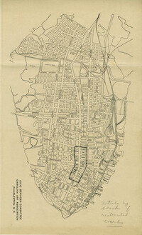
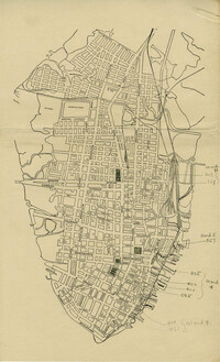
Map of peninsula.
Description:
Map of peninsula.
Description:
List of labels for Public Housing Show, W.P.A., presented by the U.S. Housing Authority.
Description:
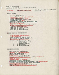
List of City of Charleston city departments, indicating their relationship to one another.
Description:
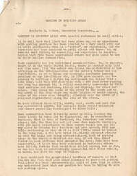
"Parking in Business Areas," by Marjorie H. Walker.
Description:
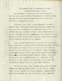
Draft of article entitled "The National Value of Charleston as a City" by John Mead Howells, written for the "This is Charleston" exhibit.
Description:
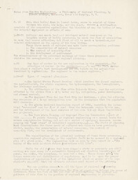
Notes from "The New Exploration" by Benton MacKaye.
Description:
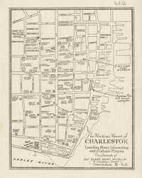
Map entitled "The Historic Heart of Charleston ... Compliments of the Old Slave Mart Museum," with advertisements on back of "The Historic Heart of Charleston."