Search
« Previous |
1 - 20 of 63
|
Next »
Search Results
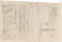
Description:
Map of area bounded by Archdale, Market, King and Beaufain Streets.
Description:
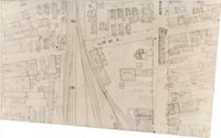
Map (not color-coded) of area around Reid Street and Meeting Street
Description:
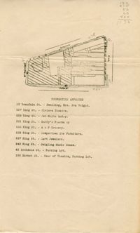
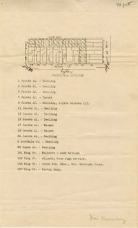
Map of area bounded by Jacob's Alley, Queen, King, and Archdale Street.
Description:
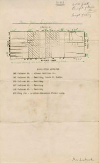
Map of area bounded by Burns Lane, Meeting, Calhoun, and King Street.
Description:
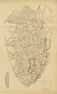
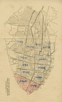
Map of peninsula.
Description:
Map of peninsula.
Description:
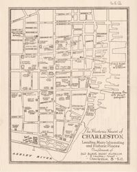
Map entitled "The Historic Heart of Charleston ... Compliments of the Old Slave Mart Museum," with advertisements on back of "The Historic Heart of Charleston."
Description:
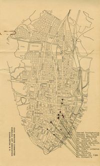
Map of the Charleston peninsula showing churches in congested areas.
Description:
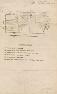
Map of area bounded by Wentworth, Meeting, and Hasell Street.
Description:
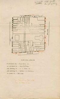
Map of area bounded by Horlbeck Alley, Meeting, and Queen Street.
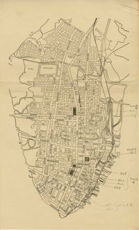
Description:
Map of peninsula.
Description:
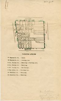
Map of area bounded by Beaufain, St. Philip, Wentworth, and King Street.
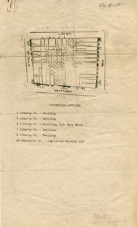
Description:
Map of area bounded by Wentworth, King, Liberty, and St. Philip Street.
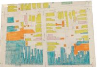
Description:
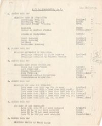
Description of the layout and format of the map of Charleston for the Charleston Metropolitan Area Exhibit at the Gibbes Art Gallery rotunda.
Description:
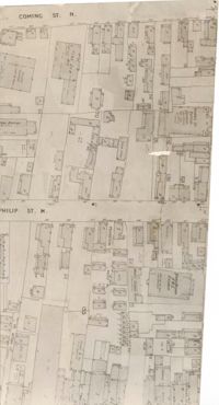
Map (not color-coded) of area between Coming Street and St. Philip Street near Morris Brown A.M.E. Church.
Description:
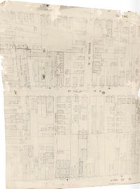
Map (not color-coded) of area where Bogard Street meets St. Philip Street, bounded by King Street.
Description:
Map (not color-coded) of area on Mary Street at Southern Railroad Freight Depot.
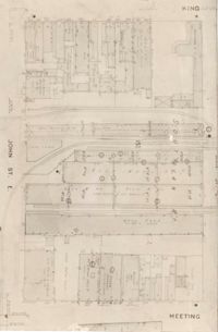
Description:
Map (not color-coded) of area bounded by King Street, Ann Street, Meeting Street, and John Street
Description:
Map (not color-coded) of area around Woolfe Street at the Southern Ice Co.
Description:
Color-coded map of area where Liberty Street meets St. Philip Street.