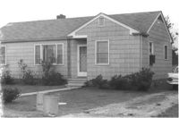
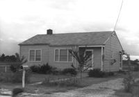
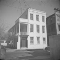
House on site affected by the construction of Interstate 26 (I-26). Surveyor notations on back of photo: "Dkt.: 10.471. Property owner: Eliz H. Riddle. Tract: 99. Station: 5378+20 Rt. Date: Aug. 23, 1960. In R/W - Bought." [See collection description for explanation of surveyor notations.]
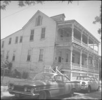
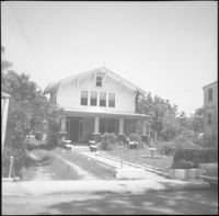
House on site affected by the construction of Interstate 26 (I-26). Surveyor notations on back of photo: "Dkt.: 10.471. Property owner: L.R. Watkins. Tract: 95. Station: 5378+90 Lt. Date: Aug. 23, 1960. In R/W - Bought." [See collection description for explanation of surveyor notations.]
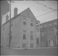
House on site affected by the construction of Interstate 26 (I-26). Surveyor notations on back of photo: "Dkt.: 10.471. Property owner: A.R. Hopkins. Tract: 87. Station: 5366+60 Rt. Date: Aug. 23, 1960. Proximity." [See collection description for explanation of surveyor notations.]
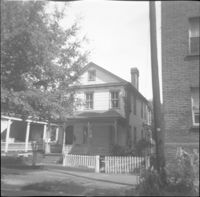
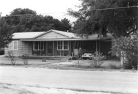
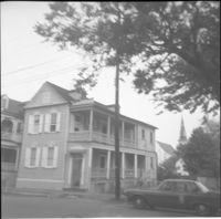
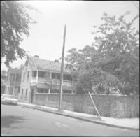
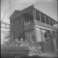
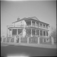
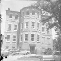
Property on site affected by the construction of Interstate 26 (I-26). Surveyor notations on back of photo: "Dkt.: 10.471. Property owner: Douglas E. Bohler, et al. Tract: 90. Station: 5374+20 to 5377+00 Lt. Date: Aug. 23, 1960. In R/W - Bought." [See collection description for explanation of surveyor notations.]
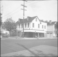
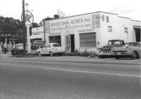
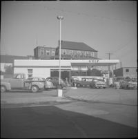
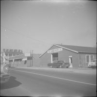
White Oak Acres, Inc. (butcher shop) on site affected by the construction of Interstate 26 (I-26). Neighboring Texaco gas station in background. Surveyor notations on back of photo: "Dkt.: 10.471. Property owner: R.H. Bowers. Tract: 139. Station: 1+30 Lt. (Remount Road). Date: Aug. 23, 1960. Proximity." [See collection description for explanation of surveyor notations.]
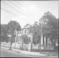
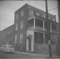
House on site affected by the construction of Interstate 26 (I-26). Surveyor notations on back of photo: "Dkt.: 10.471. Property owner: Laura M. McGorty. Tract: 151. Station: 5483+80 Lt. Date: Aug. 23, 1960. In R/W - Bought." [See collection description for explanation of surveyor notations.]
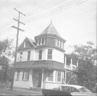
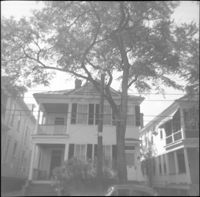
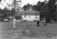
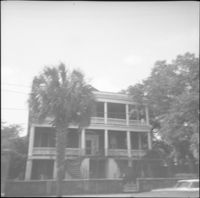
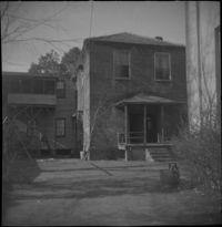
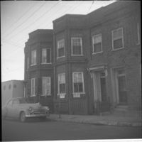
House on site affected by the construction of Interstate 26 (I-26). Surveyor notations on back of photo: "Dkt.: 10.471. Property owner: Andrew J. Hovanec. Tract: 154. Station: 5485+50 Lt. Date: Aug. 23, 1960. Proximity." [See collection description for explanation of surveyor notations.]
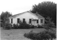
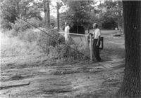
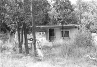
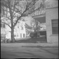
Small dilapidated building on site affected by the construction of Interstate 26 (I-26). Behind building in previous photograph (I-26 Photo 115). Surveyor notations on back of photo: "Dkt.: 10.471. Property owner: Willa W.S. Owens. Tract: 136. Station: 5477+80 Lt. Date: Aug. 23, 1960. In R/W - Bought." [See collection description for explanation of surveyor notations.]
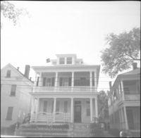
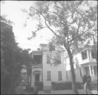
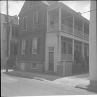
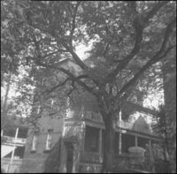
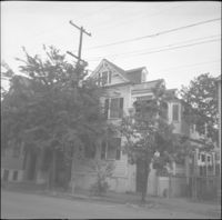
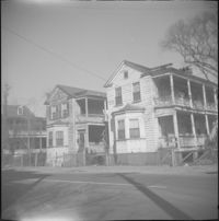
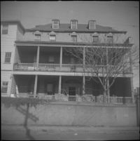
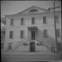
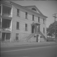
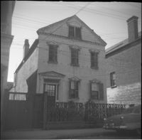
Right to left: 84 Anson Street before demolition and 86 Anson Street (Mary Smith House) before its relocation to its current address (82 Anson Street).
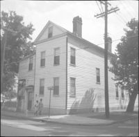
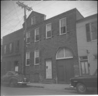
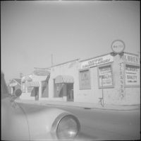
Businesses located at the northeast corner of East Bay Street and Vernon Street: Milbren's Laundry and Dry Cleaning (334 East Bay Street) and Fort Sumter Paper Co. (336 East Bay Street), since demolished.