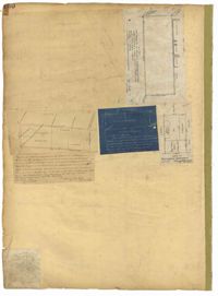
Page 150 of the City Engineer's Plat Book with five plats. Plat 1 shows lots located between President Street and the Ashley River, and between Spring Street and Mill Street. It also shows an "Ashley River Bridge" on Spring Street, and a lot labeled "Charleston and Savannah R.R." Plat 2 shows lots and structures located on the west side of Rutledge Avenue. Plat 3 features a lot located on the corner of St. Philips Street and Calhoun Street. Plat 4 shows lots located on the east side of Rutledge Avenue. Plat 5 shows lots and structures located on King Street, including labels reading "Upper Police Station" and "Cistern Underground."
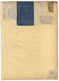
Page 153 of the City Engineer's Plat Book with three plats. Plat 1 shows lots located between Rutledge Street and Lynch Street, near where they intersect with Calhoun Street. Plat 2 shows lots located on and near the intersection of Rutledge Avenue and a private court. Plat 3 shows lots located between Smith Street and Ogier Street, near where they intersect and Vanderhorst Street.