Search Home
Search in
search for
Simple Search
Page Content Search
Title Search
Creator Search
Subject Search
Search
search icon
Search
Search Constraints
Start Over
You searched for:
Contributing Institution
Historic Charleston Foundation
✖
Remove constraint Contributing Institution: Historic Charleston Foundation
Date Range (beta)
1967
✖
Remove constraint Date Range (beta): 1967
« Previous |
1
-
50
of
117
|
Next »
Sort
by Date (Newest)
Relevance
Title
Date (Newest)
Date (Oldest)
Number of results to display per page
50
per page
10
per page
20
per page
50
per page
100
per page
View results as:
list icon
List
masonry icon
Masonry
Search Results
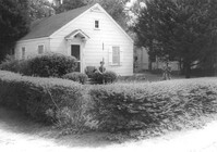
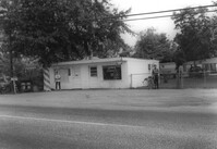
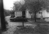
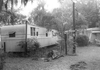
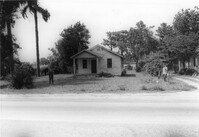
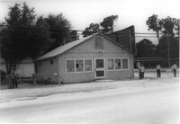
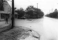
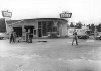
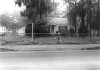
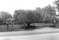
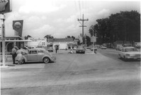
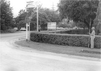
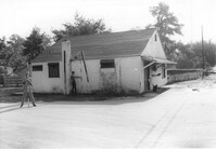
State Road 13 Photo 78
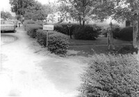
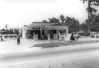
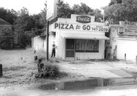
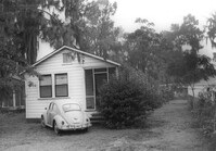
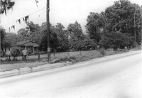
State Road 13 Photo 77
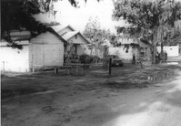
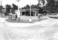
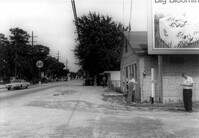
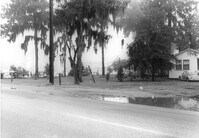
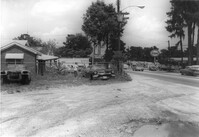
State Road 13 Photo 49
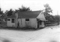
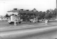
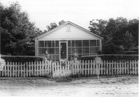
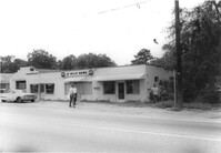
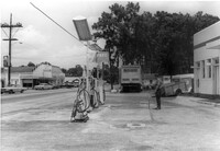
State Road 13 Photo 45
State Road 13 Photo 53
State Road 13 Photo 50
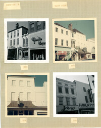
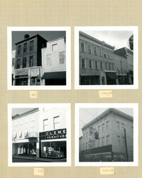
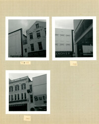
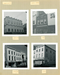
King Street Survey Photo Album, Page 9 (back): 294-308 King Street
State Road 13 Photo 72
State Road 13 Photo 69
State Road 13 Photo 63
State Road 13 Photo 43
State Road 13 Photo 07
State Road 13 Photo 27
State Road 13 Photo 35
State Road 13 Photo 65
State Road 13 Photo 40
State Road 13 Photo 31
State Road 13 Photo 34
State Road 13 Photo 30
State Road 13 Photo 28
State Road 13 Photo 29
State Road 13 Photo 52
State Road 13 Photo 57
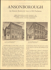
"Ansonborough: An Historical Residential Area in Old Charleston," 1967
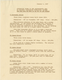
Properties owned in the Ansonborough Area by Historic Charleston Foundation, either no...
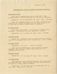
Properties for sale by Historic Charleston Foundation
State Road 13 Photo 70
State Road 13 Photo 64
State Road 13 Photo 36
State Road 13 Photo 55
State Road 13 Photo 41
State Road 13 Photo 38
State Road 13 Photo 37
State Road 13 Photo 13
State Road 13 Photo 16
State Road 13 Photo 15
State Road 13 Photo 11
State Road 13 Photo 02
State Road 13 Photo 04
King Street Survey Photo Album, Page 9 (front): 278-290 King Street)
King Street Survey Photo Album, Page 10 (front): 327-339 King Street
King Street Survey Photo Album, Page 11 (front): 330-342 King Street
King Street Survey Photo Album, Page 8 (front): 285-325 King Street
King Street Survey Photo Album, Page 7 (back): 254-274 King Street
King Street Survey Map 2: King Street from Calhoun to Columbus - Historical Significance
King Street Survey Map 4: King Street from Calhoun to Columbus - Area Conditions
State Road 13 Photo 81
State Road 13 Photo 54
State Road 13 Photo 62
State Road 13 Photo 56
« Previous
Next »
1
2
3
Limit your search
Collection
SCDOT Photographs: Properties in the Right-of-Way
81
1967 King Street Survey Collection
25
Ansonborough Rehabilitation Project
11
Contributing Institution
Historic Charleston Foundation
✖
[remove]
117
Media Type
Images
102
Documents
15
Subject (Topic)
Highway planning--South Carolina--Charleston County
81
Right of way--South Carolina--Charleston County
81
Lost architecture--South Carolina--Charleston County
72
Vernacular architecture--South Carolina--Charleston County
69
Commercial buildings--South Carolina--Charleston County
40
Architectural surveys--South Carolina--Charleston
25
Commercial buildings--South Carolina--Charleston
25
Dwellings--South Carolina--Charleston County
25
Historic buildings--South Carolina--Charleston
25
Streets--South Carolina--Charleston
25
more
Subject (Topic)
»
Subject (Geographic)
Charleston County (S.C.)--Buildings, structures, etc.
81
Charleston (S.C.)--Buildings, structures, etc.
25
Charleston (S.C.)
8
Charleston (S.C.)--History
3
Charleston (S.C.)--Maps
3
Date
1967
111
1967-01-01
2
1967-01-10
2
1967-04
1
1967-06-28
1
Date Range (beta)
1967
✖
[remove]
117