Search
« Previous |
41 - 50 of 75
|
Next »
Search Results
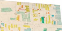
- Description:
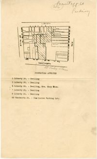
- Color-coded map of area around Vanderhorst Street, near a police station and St. Paul's Episcopal Church.
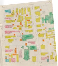
- Description:
- Color-coded map of area bounded by Wentworth Street, Coming Street, George Street, and Glebe Street.
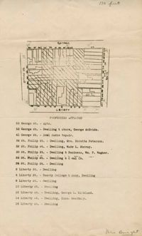
- Description:
- Map of area bounded by Liberty, King, George, and St. Philip Street.
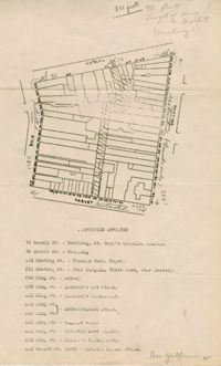
- Description:
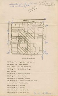
- Map of area bounded by Hasell, Meeting, King and Market Street.
- Description:
- Map of area bounded by Horlbeck Alley, King, Market, and Meeting Street.
- Date:
- 1945
- Description:
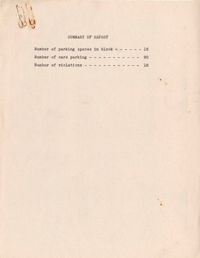
- Map of the Charleston peninsula with one area marked to indicate number of parking spaces.
- Description:
- Map of area bounded by Wentworth Street, St. Philip Street, Liberty Street, and King Street.
- Description:
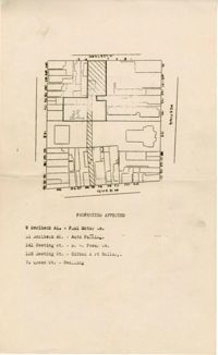
- Map of area bounded by George Street, King Street, Liberty Street, and St. Philip Street.
- Description:
- Map of area bounded by Horlbeck Street, Meeting Street, and Queen Street.
- Description:
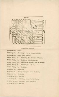
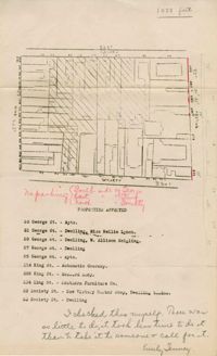
- Map of area bounded by Society, Meeting, George, and King Street.