Page 148 of the City Engineer's Plat Book with two plats. Plat 1 shows lots and structures located on and near Calhoun Street, between Washington Street and the Cooper River. Plat two shows "Lots in the Village of Rikersville," including 21 acres of marshland, a canal, and a pond.
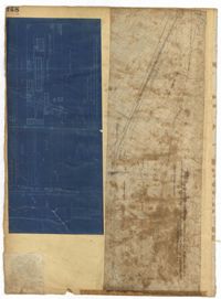
Page 149 of the City Engineer's Plat Book with one plat. The plat shows lots located between Meeting Street and King Street, including a stretch of railroad.
Page 158 of the City Engineer's Plat Book with four plats. Plat 1 shows lots located on South Street, near where it intersects with Hanover Street. Plat 2 shows lots located on and near Mill Street, near its intersections with Lucas Street and President Street, and shows a building labelled "Dead House" and a creek labeled as "leading to canal." Plat 3 shows lots and structures located on East Bay Street. Plat 4 shows South Bay Street and its intersections with Legare Street and King Street.
Page 61 of the City Engineer's Plat Book with four plats. Plat 1 features a lot and buildings located between East Bay Street and Concord Street, and between Pritchard Street and Hasell Street. Plat 2 shows lots between Pritchard Street and Hard Alley, near their intersections with East Bay Street. Plat 3 shows lots located on Pritchard Street, between East Bay Street and Concord Street, with some buildings labelled. Plat 4 shows lots located near the intersection of Meeting Street and Queen Street with some buildings and structures labelled.
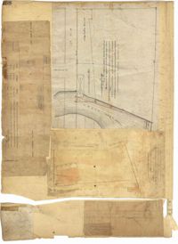
Page 29 of the City Engineer's Plat Book with three plats. Plat 1 shows lots and structures located near Calhoun Street, Rutledge Street, Lynch Street, Gadsden Street, Lucas Street, and Bennett Street, including a lot labelled "Public Square," a creek, and a building labelled "Saw Mill." Plat 2 shows land located near the intersection of West Bay Street and a body of water labelled "Mill Pond." Plat 3 shows land located near the Ashley River channel and a road labelled "Causeway Leading to Rice Mill."
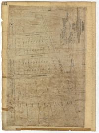
Page 232 of the City Engineer's Plat Book with one plat. The plat shows lots and structures between East Bay Street and the Cooper River, and between Society Street and Vernon Street. The plat also shows Washington Street, Marsh Street, Concord Street, Vernon Street, and Wharf Street.
A set of annual reports of the the Fire Department from 1859-1872. Reports missing for years 1862-1865. The annual reports open with a statement from the Fire Chief and include multiple lists of department expenses, financial cost of fires, the cause of the fires, and locations of city property pertaining to the fire department.