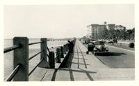
Looking west on Murray Boulevard from the bend at East Battery. Edge of White Point Gardens in view at right; Fort Sumter Hotel (now known as the Fort Sumter House at 1 King Street) in background. Cars on the road.
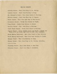
The City of Charleston's 1931 city planning report by Morris Knowles, Inc. The report contains demographic information regarding school districts, playgrounds, and parks with recommendations for school redistricting and locations for new parks and playgrounds. School and park information is racially divided between white and African American sections. The report also includes suggestions for a thoroughfare and other street changes.
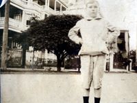
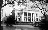
Photographs taken by Sabina Elliott Wells in 1898-1899. Wells was a Charleston artist and designer; she was also a Newcomb potter. Photographs include scenes in Charleston and the Lowcountry, in northwest South Carolina (Table Rock and vicinity), and in western North Carolina (Flat Rock and vicinity). Scans were derived from negatives donated to Historic Charleston Foundation. (Note: Wells's diaries from 1898-1899 that document some of her travels, including sites represented in these photographs, are at the South Carolina Historical Society, "Sabina E. Wells papers, 1886-1942.")
Looking east on George Street to where it ended at Anson Street before the continuation of George Street occurred. Left to right: What was 86 Anson Street, later relocated to 82 Anson Street, and the original house at 82 Anson Street, later demolished for the relocation of 86 Anson Street.