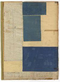
Page 223 of the City Engineer's Plat Book with five plats. Plat 1 shows lots and structures along Poinsett Street, near where it intersects with King Street. Plat 2 shows lots located on Sans Souci Street, near where it intersects with King Street. Plat 3 shows lots located on Line Street, including a lot labelled "City Stables." Plat 4 shows lots along King Street, near where it intersects with Moultrie Street. Plat 5 shows lots and structures located near the intersection of King Street and Romney Street.
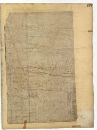
Page 233 of the City Engineer's Plat Book with one plat. The plat features a stretch of marshland located east of Bay Street. The plat also shows America Street, Cooper Street, Blake Street, several creeks, and land labelled "Magazine."
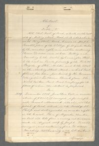
This document packet is the abstract of the title to a tract of land located near the southeast corner of Meeting Street and Cunnington Street. St. Matthew's Lutheran Church (then the German Evangelical Lutheran Church) purchased the land from the Northeastern Railroad Company (N.E.R.R. Company) in 1883 for the purpose of creating a cemetery. The cemetery became known as Bethany Cemetery. The abstract lists the property's previous owners and the means through which they acquired the land. It also includes legal documentation showing the N.E.R.R. paid taxes on the land and other confirmation that they had the right to sell the land.
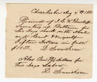
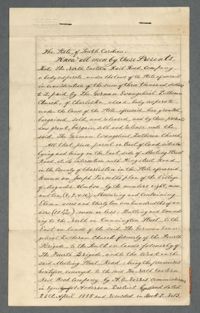
A document conveying a tract of land to the German Evangelical Lutheran Church. The church purchased this land from the North Eastern Rail Road Company.
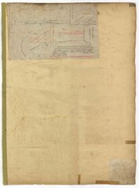
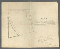
Land Survey of a lot near the corner of Meeting and Cunnington Streets. The survey describes the land as consisting of 9.45 acres, and that a representative of the German Evangelical Lutheran Church requested the survey.