Search
« Previous |
1 - 10 of 21
|
Next »
Search Results
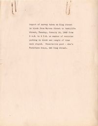
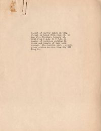
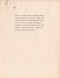
- Date:
- 1945-01-16
- Date:
- 1945
- Description:
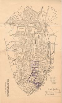
- Map of Area 1 bounded by George Street, St. Philip Street, Vanderhorst Street, Hutson Street, and Meeting Street assigned to Mrs. T W. Thornhill.
- Description:
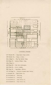
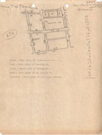
- Map of area bounded by Market Street, Meeting Street, Horlbeck Street, and King Street.
- Description:
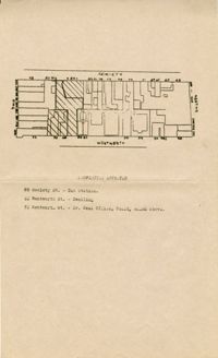
- Map of area bounded by Society Street, Meeting Street, Wentworth Street, and King Street.
- Description:
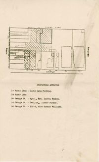
- Map of area bounded by George Street, King Street, Burns Lane, and Meeting Street.
- Date:
- 1945-01-16
- Date:
- 1945
- Description:
- Map of Area 2 bounded by George Street, Meeting Street, Philip Street, Beaufain Street, and Hasell Street assigned to Mrs. Thornhill and Mrs. Taft.
- Description:
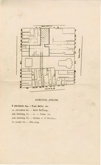
- Map of area bounded by Horlbeck Street, Meeting Street, and Queen Street.
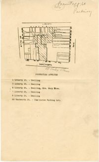
- Date:
- 1945-01-16
- Description:
- Map of area bounded by Wentworth Street, St. Philip Street, Liberty Street, and King Street.