Descriptions of some points of historic interest in and around Charleston, with suggestions on what to see and how to see it. Illustrated with photographs. Published by Walker, Evans & Cogswell. [5] p. derived from two folded sheets (1st sheet 23 x 41 cm. folded to 10 x 23 cm.; 2nd sheet 23 x 81 cm. folded to 23 x 10 cm.).
Provides local history and information on various sites and points of interest. Also includes advertisements for local businesses, sites, artists, etc., and a map of Charleston (1930). "Winter 1929-30." Published by W.W. De Renne (Savannah, Ga.). 16 p. : ill., map ; 23 cm.
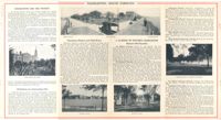
Brief descriptions of points of historic interest in and around Charleston. Maps show landmarks in historic Charleston and also points of interest "on the motor roads and bridle paths near Charleston," including James Island and West Ashley sites. Possibly published by Wecco (Charleston, S.C.) One sheet : ill., maps; 22 x 57 cm. folded to 22 x 10 cm.
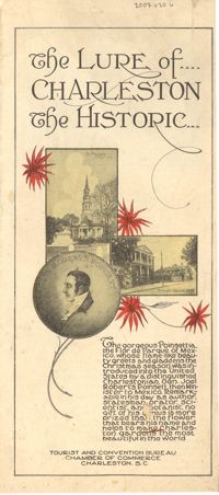
A ready reference to the most important points of historic interest in and around Charleston. Published by The Tourist and Convention Bureau, Charleston Chamber of Commerce, 50 Broad Street. 19 p., 16 cm.
Souvenir booklet for guests of the Charleston Hotel, produced after the hotel's renovation and when it was under the new management of Francis G. Cart and W. Irving Davids. Includes a description of the hotel and its remodeling, along with a brief history of Charleston and photographs of points of interest. [16] p., ill., 11x15 cm. (Note: The Charleston Hotel was located on the 200 block of the east side of Meeting Street. It was demolished in 1960.)
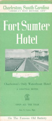
Brochure for the Fort Sumter Hotel [1 King Street]. Includes description and floor plan of the hotel, information about Charleston, and photographs of points of interest. Also includes map showing travel routes to Charleston from Jacksonville, Florida, to New York, New York. "A Colonial Hotel. Jno. S. Cator, Mgr." One sheet : ill., map ; 23 x 41 cm., folded to 23 x 10 cm.