Search
« Previous |
1 - 10 of 31
|
Next »
Search Results
Date:
1945
Description:
A report from the mayor, city council, and various governmental departments of Charleston, S.C. for the year 1945. The Year Book opens with an address from the mayor, E. Edward Wehman, Jr., followed by reports from various departments.
Date:
1945
Description:
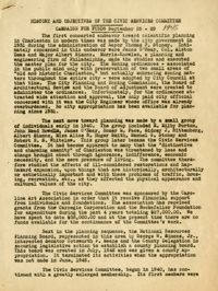
A report entitled "History and Objectives of the Civic Services Committee Campaign for Funds" (Sept. 25-29, 1945).
Date:
1945
Description:
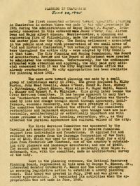
A report entitled "Planning in Charleston" (June 28, 1945).
Date:
1945
Description:
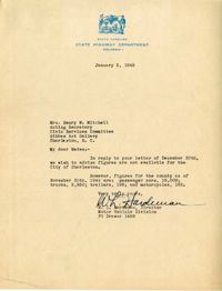
Letter to the Civic Services Committee from W. L. Hardeman regarding Charleston county figures for passenger cars, trucks, trailers, and motorcycles.
Date:
1945
Description:
Map of Area 1 bounded by George Street, St. Philip Street, Vanderhorst Street, Hutson Street, and Meeting Street assigned to Mrs. T W. Thornhill.
Date:
1945
Description:
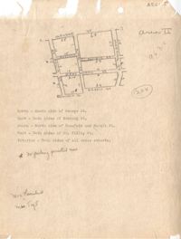
Map of Area 3 bounded by Beaufain Street, Hasell Street, Meeting Street, Broad Street, Legare Street, and Archdale Street assigned to Ferdinanda Waring.
Date:
1945
Description:
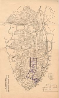
Map of Area 2 bounded by George Street, Meeting Street, Philip Street, Beaufain Street, and Hasell Street assigned to Mrs. Thornhill and Mrs. Taft.
Date:
1945
Description:
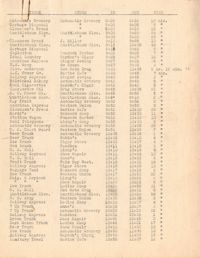
Parking survey of trucks, showing name on truck, name of store, time-in, time-out, and total time parked.
Date:
1945
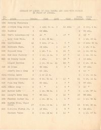
Description:
Summary of length of time trucks and cars were parked in front of stores.
Date:
1945
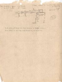
Description:
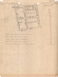
Map of Area 4 bounded by Broad Street, East Bay Street, and Tradd Street assigned to Mr. Martin Powers and Maier Triest.