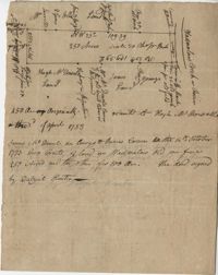
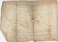
Plat of 250 acres on Wadmalaw Creek. Includes short explanation, but plat itself includes very little details. Names associated with this plat are Hugh McDowel, James McDowel, James Carson, Dalziel Hunter, James Young and Ellis.
Plat of 250 acres of land granted to Bonam Sam on Wadmalaw Island the 5 May 1704. Names associated with this plat are Sam Bonam, William Lowry, Henry Livingston, and Thomas Stangarn.
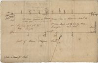
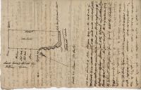
Copy of Plat of 157 acres of land laid out to Harrison on Wadmalaw Island at the head of Wadmalaw River. Names associated with this plat are Christopher Harrison, Henry Walkins, and Luna Williams.
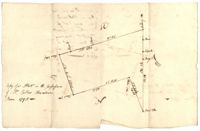
Copy of a plat of annexed to the original grant to John Stanyarn for 300 acres on Wadmalaw Island now belonging to Barnet Adams. Names associated with this plat include Barnet Adams, Edmund Bellinger, John Stanyarn, William Green, Joseph Tobias, Christopher Williamson, John Mill and Winborne Laughton. Notable geographic locations include Wadmalaw Island and Bohicket Creek.
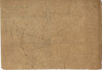
Plat of 288 acres of land situated on Wadmalaw Island. Names associated with this plat are William Weston, Jonathan Runnel, James Clarks, Benjamin Allston [?], and Henry Treads. Notable geographic locations include Wadmalaw River, Wadmalaw Island, Bain Bluff, and Charleston District.
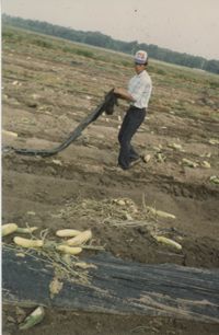
Fotografía en color de un trabajador agrícola en Parkers Farms, Wadmalaw Island quitando el plástico negro utilizado en el campo para controlar las malezas y mantener la humedad del suelo. / Color photograph of an agricultural worker at Parkers Farm, Wadmalaw Island. He is removing the black plastic used on fields to retain moisture and control weeds.
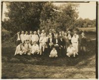
A black and white photograph of members of the Agricultural Society of South Carolina posing together at the United States Sea Island Cotton Experimental Farm. A list of all pictured is available on the back of the photograph.