Search
« Previous |
41 - 50 of 1,145
|
Next »
Search Results
- Description:
- "General Plan" for "Map of Charleston Area" exhibit at the Gibbes Art Gallery.
- Description:
- Document regarding housing in Charleston for war workers.
- Description:
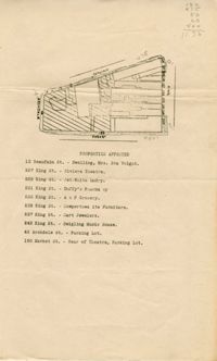
- Map of area bounded by Archdale, Market, King and Beaufain Streets.
- Description:
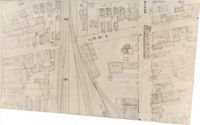
- Map (not color-coded) of area around Reid Street and Meeting Street
- Description:
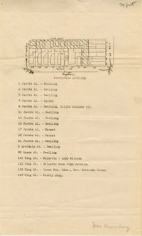
- Map of area bounded by Jacob's Alley, Queen, King, and Archdale Street.
- Description:
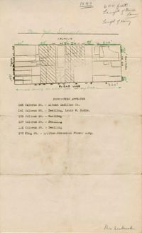
- Map of area bounded by Burns Lane, Meeting, Calhoun, and King Street.
- Description:
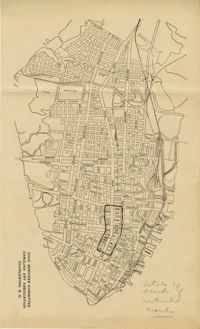
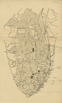
- Map of peninsula.
- Description:
- Map of peninsula.
- Description:
- Notes on "How to Promote Community and Industrial Development" by Frederick H. McDonald.
- Description:
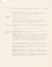
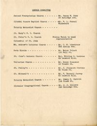
- List of members of the Civic Services Committee Church Committee.