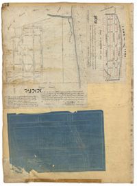
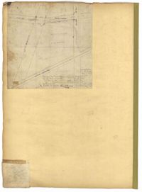
Page 173 of the City Engineer's Plat Book with five plats. Plat 1 shows lots and structures located near the intersection of Meeting Street and Brigade Street. Plat 2 shows lots located between Meeting Street and Lee Street, and includes a lot labeled "German Cemetery." Plat 3 shows lots located between Cunnington Avenue and Wiliman Street, and between Meeting Street and Lee Street, and shows a lot labeled "4th Brigade." Plat 4 shows lots located near Brigade Street. Plat 5 features lots located in the Village of Hampstead, between Bay Street and Town Creek.
Page 170 of the City Engineer's Plat Book with four plats. Plat 1 shows lots located between King Street and Meeting Street, and between Romney Street and Grove Street. Plat 2 shows lots located between King Street and Meeting Street, and between Brigade Street and Mount Pleasant Street. Plat 4 shows lots located on Butler Street, near its intersection with Russell Street. Plat 5 features a lot labelled "Reservoir," located between Hanover Street and America Street.
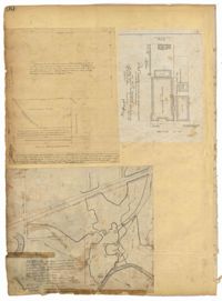
Page 172 of the City Engineer's Plat Book with three plats. Plat 1 features a stretch of land located between Nassau Street and "Town Creek," and between Mary Street and Cooper Street. Plat 2 shows lots located near Division Street, Cleland Street, Union Street, and "Town Creek." Plat 3 shows lots located between President Street and Norman Street, near where it intersects with Spring Street.
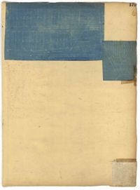
Page 171 of the City Engineer's Plat Book with three plats. Plat 1 shows lots located on and near the intersection of Meeting Street and Mt. Pleasant Street. Plat 2 shows lots located along King Street, near its intersection with Mt. Pleasant Street. Plat 3 shows the intersection of Calhoun Street and Smith Street.
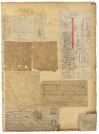
Page 174 of the City Engineer's Plat Book with two plats. Plat 1 shows lots and structures located between King Street and Meeting Street. Plat 2 features a lot located on Nassau Street, near where it intersects with Stewart Street.
Page 181 of the City Engineer's Plat Book with one plat. The plat features a survey of Mount Pleasant Farm, focusing on "High land" and "Marsh." The plat also shows the city boundary, several structures, marsh leading to the Ashley River, Hester Street, Sans Souci Street, and Mount Pleasant Road.
Page 179 of the City Engineer's Plat Book with two plats. Plat 1 shows lots located on and near Hinloch Court and Meeting Street. Plat 2 shows lots located between Moultrie Street and Price Street.
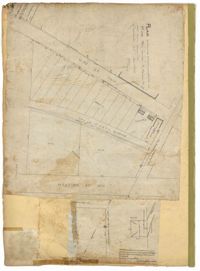
Page 180 of the City Engineer's Plat Book with one plat. The plat shows lots located on and near Brigade Street, Lee Street, the City Boundary, and the "N.E.R.R. Right of Way."
Page 100 of the City Engineer's Plat Book with four plats. Plat 1 features lots located near the intersection of Broad Street and Friend Street. Plat 2 shows lots and structures on Meeting Street. Plat 3 shows land located near the intersection of Drake Street and Cool Blow Street, including a stretch of the North Eastern Rail Road, a creek leading to the Cooper River, and some marshland. Plat 4 is affixed to the page so it folds in and out, and shows lots located near a stream, Pine Street, Alleyway Street, Norman Street, and Ashton Street.
Page 105 of the City Engineer's Plat Book with seven plats. Plat 1 shows several lots located on Chalmers Street. Plat 2 shows lots located near the intersection of East Bay Street and Market Street, and several structures, including docs and wharves. Plat 3 features lots and structures located on Chalmers Street. Plat 4 features a lot located on the intersection of Church Street and Waters Street, and shows several structures. Plat 5 shows a lot and several structures located on Waters Street. Plat 6 features a lot and buildings located on Broad Street. Plat 7 features the profiles of streets where tidal drains will be built. The profiles include Calhoun Street, Mazyck Street, Logan Street, Tradd Street, Coming Street, Chesnut Street, Spring Street, and Meeting Street.