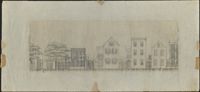
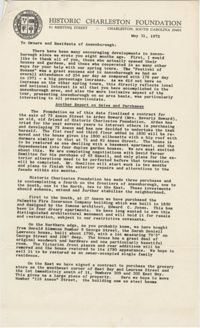
Architectural drawing of houses on the north side of Society Street. Right to left: edge of 36 Society showing piazza, 38 Society, 40 Society, 42 Society, 44 Society.
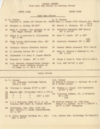
In this two-page typed document, the owners and plot numbers for numerous properties are listed. Properties are organized by street and divided into the North and South sides.
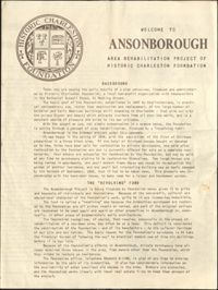
This four-page brochure includes background information on the Ansonborough Rehabilitation Project and Revolving Fund, photographs and information about Ansonborough homes, and a map of Ansonborough. Homes listed include 40 Society Street; 42 Society Street; 44 Society Street; 56 Society Street; 66 Anson Street; 63 Anson Street; 71 Anson Street; 72 Anson Street; 55 Laurens Street; 48 Laurens Street; 332 East Bay Street; and 329 East Bay Street.
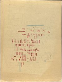
Six maps conveying plans to beautify Ansonborough, showing the footprints of buildings and annotated to indicate the status of buildings, traffic flow, and scenarios that would result from the Ansonborough Rehabilitation Project.
This four-page brochure includes background information on the Ansonborough Rehabilitation Project and Revolving Fund, photographs and information about Ansonborough homes, and a map of Ansonborough. Homes listed include 40 Society Street; 42 Society Street; 44 Society Street; 56 Society Street; 66 Anson Street; 63 Anson Street; 71 Anson Street; 72 Anson Street; 55 Laurens Street; 48 Laurens Street; 332 East Bay Street; and 329 East Bay Street. Also includes a note on the first page that Historic Charleston Foundation has purchased an additional three houses, 8, 10, and 12 Wentworth Street, bringing the total number of purchased or donated properties in Ansonborough to 25.
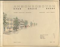
Ansonborough Open Space Study is an illustration in support of the report of the same name, created for Historic Charleston Foundation by Kenneth L. Steeves in August, 1968.