Guide for a walking tour of Charleston, containing a brief history of Charleston; descriptions of each location on the tour; and photographs of notable buildings. Published by Lanneau's Art Store (Charleston, S.C.). [6] p., [24] leaves : ill. ; 27 x 32 cm.
Guidebook to Charleston, containing a history of Charleston; descriptions of many points of interest; street guide; and map featuring ward boundaries and points of interest. Advertisements interspersed throughout. Published by Walker, Evans & Cogswell. 95 p. : ill., fold. map ; 20 cm.
Presents "in a condensed form the historic and interesting points of interest in and near Charleston most sought after by tourists and visitors." Includes "interesting facts about the first churches and congregations; old historic buildings, halls and colleges; historical houses; relics of the old days; queer streets, alleys and lanes; parks, squares, cemeteries." Map of the peninsula includes "a sketch of the resorts and historical points in and around Charleston." Cover title: Guide Book of Historic Charleston and Map. Published by Lanneau's Art Store (Charleston, S.C.). 24 p., 16 cm. + 1 map, 40 x 50 cm. folded to 10 x 14 cm. (Note: paging begins at page 3.)
Souvenir booklet for guests of the Charleston Hotel [200 Meeting Street] at the time it was under the proprietorship of Riddock & Byrns. Includes description of the hotel and its history, and illustrations of various points of interest. Published by Art Press, Loughead & Co. (Philadelphia). [14] p. : ill. ; 16 cm.
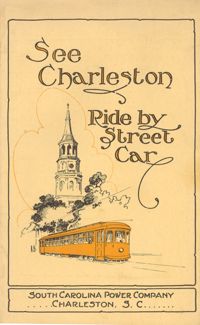
Guide to how to reach many places of interest in Charleston by street car. Includes route information, time tables, running times, and a guide map of Charleston with routes highlighted. Published by Southern Printing & Publishing Co. (Charleston, S.C.). 12 p., 16 cm. + 1 map, 19 x 27 cm. folded to 10 x 15 cm.
Descriptions of some points of historic interest in and around Charleston, with suggestions on what to see and how to see it. Illustrated with photographs. Published by Walker, Evans & Cogswell. [5] p. derived from two folded sheets (1st sheet 23 x 41 cm. folded to 10 x 23 cm.; 2nd sheet 23 x 81 cm. folded to 23 x 10 cm.).
Provides local history and information on various sites and points of interest. Also includes advertisements for local businesses, sites, artists, etc., and a map of Charleston (1930). "Winter 1929-30." Published by W.W. De Renne (Savannah, Ga.). 16 p. : ill., map ; 23 cm.
Brief descriptions of points of historic interest in and around Charleston. Maps show landmarks in historic Charleston and also points of interest "on the motor roads and bridle paths near Charleston," including James Island and West Ashley sites. Possibly published by Wecco (Charleston, S.C.) One sheet : ill., maps; 22 x 57 cm. folded to 22 x 10 cm.
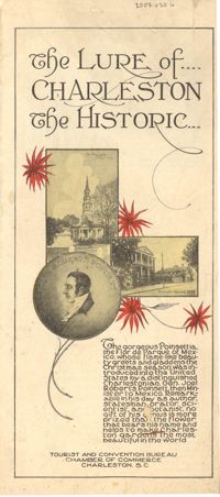
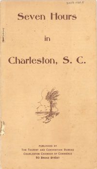
A ready reference to the most important points of historic interest in and around Charleston. Published by The Tourist and Convention Bureau, Charleston Chamber of Commerce, 50 Broad Street. 19 p., 16 cm.
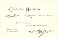
Souvenir booklet for guests of the Charleston Hotel, produced after the hotel's renovation and when it was under the new management of Francis G. Cart and W. Irving Davids. Includes a description of the hotel and its remodeling, along with a brief history of Charleston and photographs of points of interest. [16] p., ill., 11x15 cm. (Note: The Charleston Hotel was located on the 200 block of the east side of Meeting Street. It was demolished in 1960.)