Search Home
Search in
search for
Simple Search
Page Content Search
Title Search
Creator Search
Subject Search
Search
search icon
Search
Search Constraints
Start Over
You searched for:
Media Type
Maps
✖
Remove constraint Media Type: Maps
Date Range (beta)
1682
to
1684
✖
Remove constraint Date Range (beta): <span class="from" data-blrl-begin="1682">1682</span> to <span class="to" data-blrl-end="1684">1684</span>
1
-
10
of
10
Sort
by Relevance
Relevance
Title
Date (Newest)
Date (Oldest)
Number of results to display per page
10
per page
10
per page
20
per page
50
per page
100
per page
View results as:
list icon
List
masonry icon
Masonry
Search Results
01. Nova Totius Terrarum Orbis Tabula
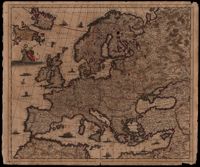
02. Nova et Accurata totius Europae Descriptio
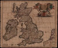
08. Novissima et Accuratissima Totius Angliae Scotiae et Hiberniae Tabula
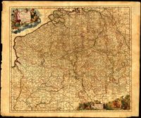
15. Belgii Pars Meridionalis cum Occidentalibus Germaniae
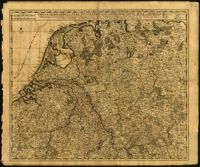
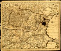
18. Tabula Geographica qua Pars Septentrionalis sive Inferior Rheni, Mosae, et Mosellae
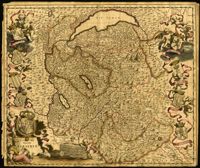
19. Tabula Generalis Sabaudiae
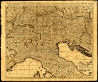
20. Pedemontium Et reliquae Ditiones Italiae Regiae Celsitudini Sabaudicae Subditae
24. Exactissima Tabula, Qua Tam Danubii Fluvii Pars Superior
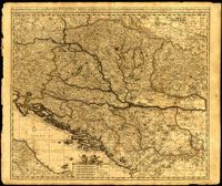
25. Exactissima Tabula, Qua Tam Danubii Fluvii Pars Media
26. Exactissima Tabula, Qua Tam Danubii Fluvii Pars Inferior
Limit your search
Collection
Mitchell King Atlas, 1662-1695
10
Contributing Institution
College of Charleston Libraries
10
Media Type
Maps
✖
[remove]
10
Subject (Topic)
History, Modern -- 17th century
10
Atlases
10
World maps
1
Subject (Geographic)
Rhineland (Germany) -- Maps
1
Date
1682-1695
4
1683-1696
4
1684-1692
1
ca. 1684
1
Date Range (beta)
1682
to
1684
✖
[remove]
10
1682
to
1682
4
1683
to
1683
4
1684
to
1684
2
Current results range from
1682
to
1684
Date Range (beta) range begin
Date Range (beta) range end
View larger »