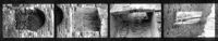
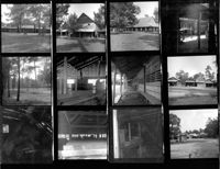
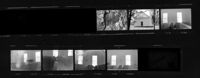
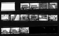
Peachtree Plantation, Located along the South Santee River. Contact Sheet 9 - Multiple Views. McClellenville, S.C.;6" x 1" B/W photo. Box 20, Folder: Miscellaneous Photos: Scanned Contact Sheets. One copy.
Peachtree Plantation, Located along the South Santee River. Contact Sheet 10 - Multiple Views. McClellenville, S.C.;10" x 8" B/W photo. Box 20, Folder: Miscellaneous Photos: Scanned Contact Sheets. One copy.
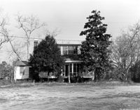
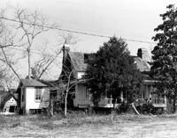
How Tavern. View of North (Front) elevation. Cainhoy (Huger vicinity, Lewisville, Louisville), S.C.;8" x 10" B/W photo. Box 4, Folder 1-12-3. One copy.
How Tavern. View of NE (Front and Side) elevation. Cainhoy (Huger vicinity, Lewisville, Louisville), S.C.;8" x 10" B/W photo. Box 4, Folder 1-12-3. One copy.
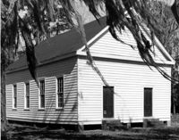
Appleby Methodist Church, Wire Road - intersection of County Roads 19 & 71. View of Front and Side elevation. Reevesville, S.C.;8" x 10" B/W photo. Box 17, Folder 3-3-3. One copy.
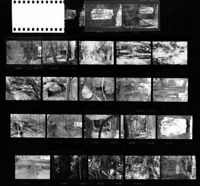
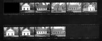
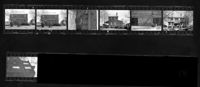
Old Carroll House (Carroll Place), Junction of Quaker and Wire Roads. Contact Sheet 12 - Multiple Views. St. George, S.C.;10" x 5" B/W photo. Box 20, Folder: Miscellaneous Photos: Scanned Contact Sheets. One copy.
Old Carroll House (Carroll Place), Junction of Quaker and Wire Roads. Contact Sheet 13 - Multiple Views. St. George, S.C.;10" x 4" B/W photo. Box 20, Folder: Miscellaneous Photos: Scanned Contact Sheets. One copy.
Limit your search
Photos from the Records of The Historic Preservation Planner, BCD-COG✖[remove]985