Search Home
Search in
search for
Simple Search
Page Content Search
Title Search
Creator Search
Subject Search
Search
search icon
Search
Search Constraints
Start Over
You searched for:
Media Type
Maps
✖
Remove constraint Media Type: Maps
Date Range (beta)
1735
to
1739
✖
Remove constraint Date Range (beta): <span class="from" data-blrl-begin="1735">1735</span> to <span class="to" data-blrl-end="1739">1739</span>
1
-
8
of
8
Sort
by Relevance
Relevance
Title
Date (Newest)
Date (Oldest)
Number of results to display per page
10
per page
10
per page
20
per page
50
per page
100
per page
View results as:
list icon
List
masonry icon
Masonry
Search Results
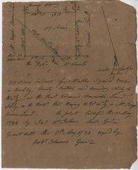
St. Bartholomew's Parish Plat 1732
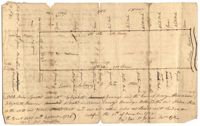
Plat in Colleton County 1735
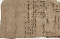
Prince Frederick's Parish Plat 1735
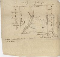
Plat on the Santee River 1735
Craven County Plat 1735
Plat in St. James Parish 1736
Berkeley County Plat 1736
Savannah River Plat 1737
Limit your search
Collection
John McCrady Plats and Deeds Collection
8
Contributing Institution
South Carolina Historical Society
8
Media Type
Maps
✖
[remove]
8
Subject (Topic)
Maps
8
Surveying--South Carolina
8
Conveyancing--South Carolina
8
Subject (Geographic)
Santee River (S.C.)
1
Savannah River (Ga. and S.C.)
1
Ashepoo River (S.C.)
1
Dorchester (S.C.)
1
Pee Dee River (N.C. and S.C.)
1
Santee (S.C.)
1
Santee River (S.C.)
1
Savannah (Ga.)
1
Date
1735
4
1736
2
1736-09-30
1
1737
1
Date Range (beta)
1735
to
1739
✖
[remove]
8
1735
to
1735
4
1736
to
1736
3
1737
to
1737
1
1738
to
1738
0
1739
to
1739
0
Current results range from
1735
to
1737
Date Range (beta) range begin
Date Range (beta) range end
View larger »