US Route 17 Photo 445
Close Viewer
- Title:
- US Route 17 Photo 445
- Date:
- 1964
- Creator (Corporate):
- South Carolina. Dept. of Transportation
- Description:
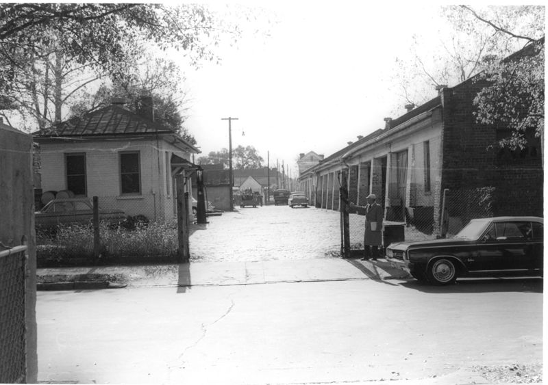
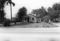
- Looking down driveway between City Garage and building with gas pump, on site affected by the construction of the Crosstown. Address: 134 Line Street. Surveyor notations on back of photo: "Dkt.: 10.524. Property owner: City of Charleston. Tract: 128. Station: 91+00 CL Rt. Date: Dec. 2, 1964. Panoramic view." [See collection description for explanation of surveyor notations.]
- Collection Title:
- SCDOT Photographs: Properties in the Right-of-Way
- Contributing Institution:
- Historic Charleston Foundation
- Media Type:
- Images
- Topical Subject:
- Right of way--South Carolina--Charleston County and Highway planning--South Carolina--Charleston County
- Geographic Subject:
- Charleston County (S.C.)--Buildings, structures, etc.
- S.C. County:
- Charleston County (S.C.)
- Shelving Locator:
- 2009.022.1, photo ID# 3-29,DOTPhoto_0580
- Date Digital:
- 2011-07
- Digitization Specifications:
- 600 ppi, 24-bit depth color, HP Scanjet 4890. Archival Masters are tiffs.
- Copyright Status Statement:
- Digital image copyright 2010, Historic Charleston Foundation. All rights reserved. For more information contact Margaretta Childs Archives at HCF, P.O. Box 1120, Charleston, SC 29402.
- Admin ID:
- 45855
Permalink