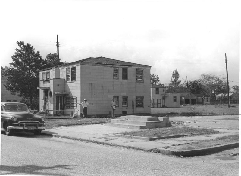
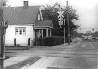
Two-story dwelling on site affected by the construction of Interstate 26 (I-26). Address: 1317 King Street. Adjacent lot in foreground appears to have had a building on it which had been razed. View of street corner; northwest corner of King Street and Mt. Pleasant Street. Presumably part of the Rose Garden Tourist Court; see I-26 Photo 1467. Surveyor notations on back of photo: "Dkt.: 10.490. Property owner: The Long Corporation. Tract: 200. Station: 7+10 Lt. (Mt. Pleasant Street). Date: September 11, 1962. To be cut off at R/W by SCHD [SC Highway Department]." [See collection description for explanation of surveyor notations.]
600 ppi, 24-bit depth color, HP Scanjet 4890. Archival Masters are tiffs.
Copyright Status Statement:
Digital image copyright 2010, Historic Charleston Foundation. All rights reserved. For more information contact Margaretta Childs Archives at HCF, P.O. Box 1120, Charleston, SC 29402.