Plat in Johns Island 1716
Close Viewer
- Title:
- Plat in Johns Island 1716
- Date:
- 1804
- Description:
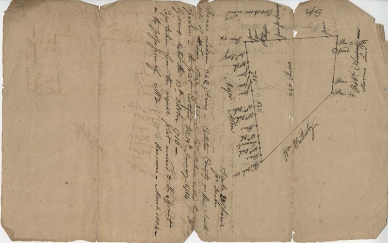
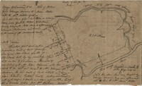
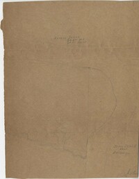
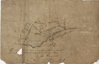
- Copy of plat of 342 acres on Johns Island. Very little detail, just an outline of the property with trees on the edges. Names associated with this plat are Thomas Ladson, Hanscome, Allen, William Wallisby, Robert Murens, and Brocher. Geographic locations are the Stono River, Colleton County and Johns Island.
- Collection Title:
- John McCrady Plats and Deeds Collection
- Contributing Institution:
- South Carolina Historical Society
- Media Type:
- Maps
- Topical Subject:
- Conveyancing--South Carolina, Maps, and Surveying--South Carolina
- Geographic Subject:
- Johns Island (S.C.)
- S.C. County:
- Charleston County (S.C.)
- Language:
- English
- Shelving Locator:
- 510.00, Box 1, Folder 21
- Date Digital:
- 2016-02-01
- Digitization Specifications:
- 400 dpi, 24-bit depth, color, Bookeye 4 Basic, Archival masters are tiffs.
- Internet Media Type:
- image/jpeg
- Copyright Status Statement:
- Public Domain.
- Access Information:
- For more information and re-use requirements contact the South Carolina Historical Society, Charleston, SC, 29401.
- Admin ID:
- 223180
Permalink