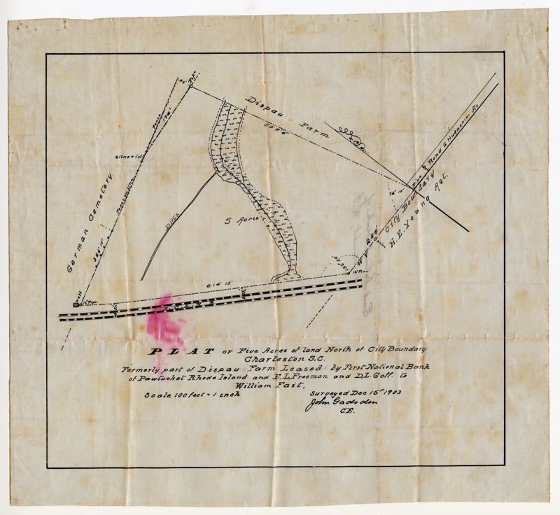
Plat for Five Acres North of the City Boundary
Title:
Plat for Five Acres North of the City Boundary
Date:
1903
Creator (Personal):
Gadsden, John
Description:
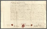
A land survey showing a tract of five acres north of the Charleston city limits in 1903. The document states the land was formerly part of Dispau Farm.
Collection Title:
Hampstead and Bethany Cemeteries Contributing Institution:
St. Matthew's Lutheran Church Media Type:
Documents Topical Subject:
Surveying and Church records and registers Geographic Subject:
Charleston (S.C.) S.C. County:
Charleston County (S.C.)
Language:
English
Date Digital:
2022-11
Digitization Specifications:
450 dpi, 24-bit depth, color, Epson Expression 12000XL. Archival masters are tiffs.
Format:
image/jpeg
Copyright Status Statement:
Public Domain.
Access Information:
For more information contact St. Matthew's Lutheran Church, 405 King Street, Charleston, SC, 29404.
Admin ID:
272645