"Statement of the Purpose of the Charleston Regional Planning Committee of the Carolina Art Association." Handwritten at top: Prepared for National Park Service.
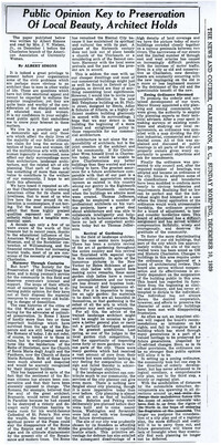
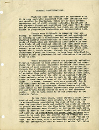
A letter to Homer M. Pace from Robert N.S. Whitelaw (Dec. 2, 1946) outlining his thoughts on city planning in Charleston, the need for a photographic record of Charleston, and historic preservation.
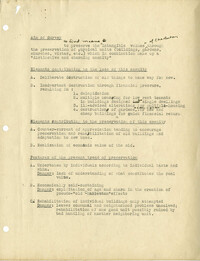
Outline (draft) describing the aim of the architectural survey, elements contributing to the loss of buildings, elements contributing to the preservation of historic buildings, features of the present trend of preservation, the inventory procedure, zoning, legal aspects, and financial aspects of preservation.
Six maps conveying plans to beautify Ansonborough, showing the footprints of buildings and annotated to indicate the status of buildings, traffic flow, and scenarios that would result from the Ansonborough Rehabilitation Project.
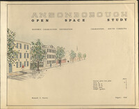
Ansonborough Open Space Study is an illustration in support of the report of the same name, created for Historic Charleston Foundation by Kenneth L. Steeves in August, 1968.
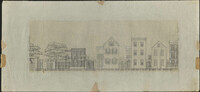
Architectural drawing of houses on the north side of Society Street. Right to left: edge of 36 Society showing piazza, 38 Society, 40 Society, 42 Society, 44 Society.