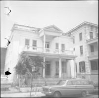
Looking north on East Battery Street from near the bend at White Point Gardens. Pedestrian is walking by White Point Gardens. Louis Desaussure House (1 East Battery) at center; Missroon House (40 East Bay Street) in the distance.
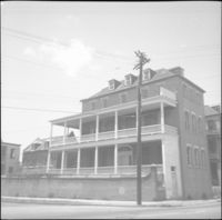
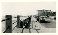
Looking west on Murray Boulevard from the bend at East Battery. Edge of White Point Gardens in view at right; Fort Sumter Hotel (now known as the Fort Sumter House at 1 King Street) in background. Cars on the road.
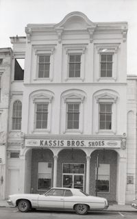
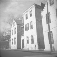
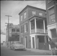
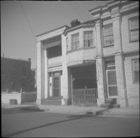
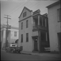
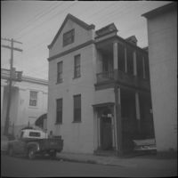
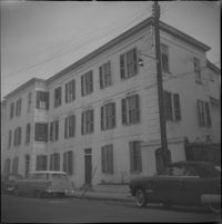
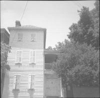
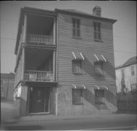
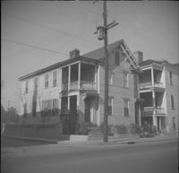
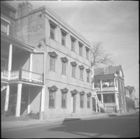
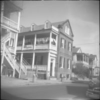
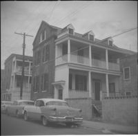
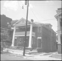
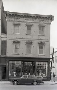
10 Wentworth Street (Charles W. Seignious House), with partial view of 12 Wentworth Street (left edge) and 8 Wentworth Street and 6 Wentworth Street (far right).
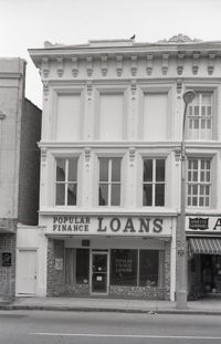
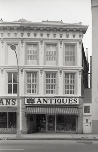
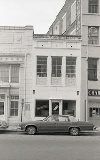
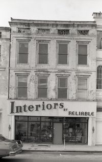
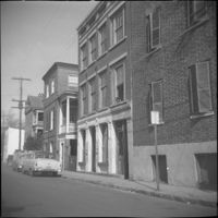
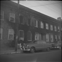
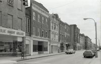
Black-and-white photograph of the view of the east side of King Street, looking south from Market Street, from 220 King Street to about 186 King Street. Shows 220 King, 218 King, 216 King, 214 King, 212 King, 210 King, 208 King, 206 King, 204 King, 202 King, 200 King, 188 King, 186 King.
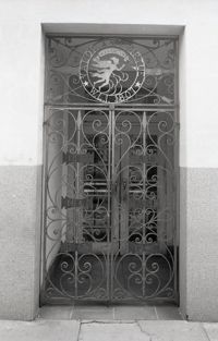
Decorative ironwork door, the side entry to 238-242 King Street. Ironwork features circular Washington Light Infantry emblem "Valor and Virtue - Washington - W.L.I. 1807," with six small iron panels with the years 1812, 1836, 1847, 1861, 1917, and [1941?].
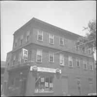
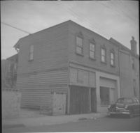
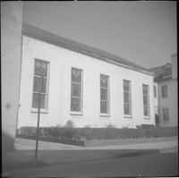
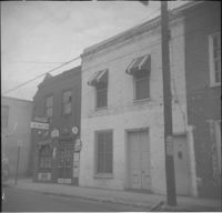
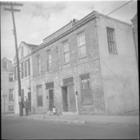
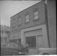
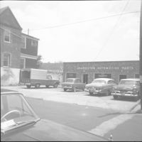
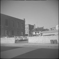
Black-and-white photograph of 131 Market Street (Boswick's Auto Service), corner view of building (northeast elevation). Now the site of the entrance to a parking lot. Billboard for Historic Savannah posted on side of building.
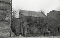
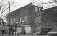
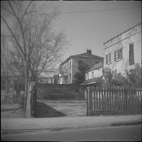
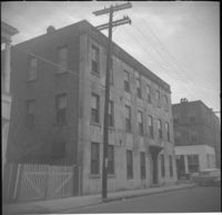
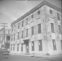
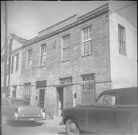
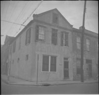
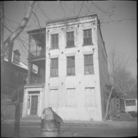
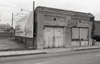
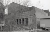
One of three black-and-white photographs of the structures at the rear of 238-242 King Street up to the rear of the buildings at about 199-203 Meeting Street, bordering what was the northern boundary of the Belk parking lot, and on the site where Charleston Center would be constructed.
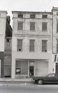
Black-and-white photograph of 243 (Siegling Music House), showing the corner of King Street and Beaufain Street. Signage on building for "Books" and "Book Basement."
One of three black-and-white photographs of the structures at the rear of 238-242 King Street up to the rear of the buildings at about 199-203 Meeting Street, bordering what was the northern boundary of the Belk parking lot, and on the site where Charleston Center would be constructed.
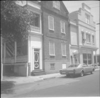
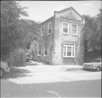
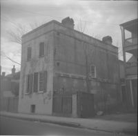
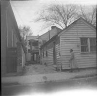
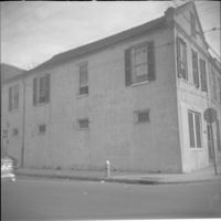
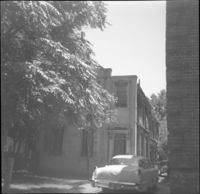
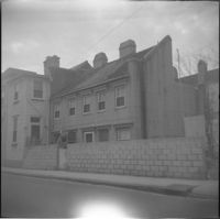
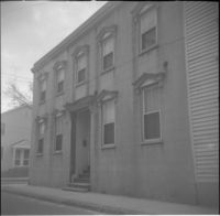
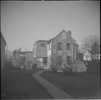
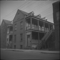
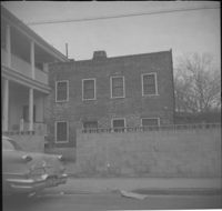
One of three black-and-white photographs of the side elevations of (possibly) 87 Hasell Street and its neighbor to the east at the time, 85 Hasell Street (gone). (87 Hasell Street currently borders the Hasell Street entry to Charleston Place and its parking garage.)
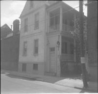
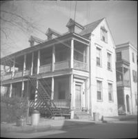
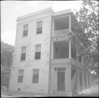
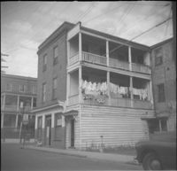
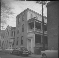
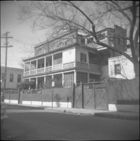
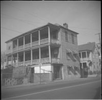
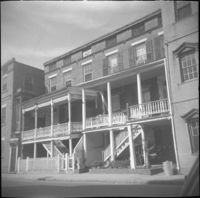
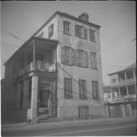
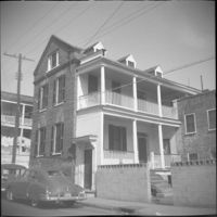
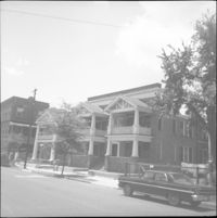
28 Wentworth Street, located at the northeast corner of Wentworth Street and Anson Street. Also features 26 Wentworth Street (right edge) and 53 Anson Street (William Thompson Tenement) (at left). Note, the Wentworth Street elevation of 53 Anson Street is 30 Anson Street.
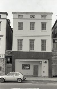
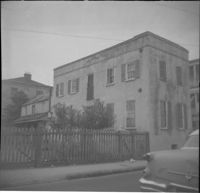
Black-and-white photograph of 219 Meeting Street (Mari Anne [restaurant]), 221 Meeting Street, street (front) elevation. Portions of adjacent buildings on either side, 217 Meeting Street (Wolper Shoe Co.) and 223 Meeting Street (Clair's Lucky Dollar Grocery Store) also in view.
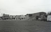
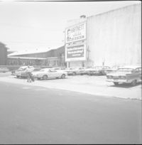
Black-and-white photograph of the view west across what was the location of Belk Department Store (232 King Street) and parking lot, now the site of Charleston Place (formerly known as Charleston Center). Shows the buildings on the west side of King Street on the 225 block: Riviera Theater (225 King), 229 King, 231 King, 233 King, 235 King, 237 King, and 239 King. Southeast elevation of 238-242 King Street at mid-right of photo.
![5 George Street [9 George Street]](https://iiif.library.cofc.edu/iiif/2/36331/full/200,/0/default.jpg)
![7 George Street [11 George Street]](https://iiif.library.cofc.edu/iiif/2/36332/full/200,/0/default.jpg)