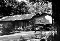
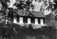
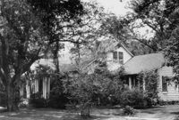
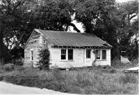
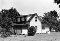
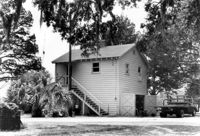
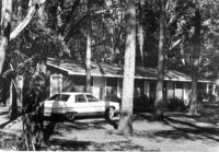
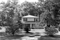
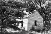
Unidentified House, ca. 1970 - Non-contributory to Historic District. Front elevation. Pinopolis, S.C.;5" x 7" B/W photo. Box 3, Folder 1-10-1 (II). One copy.
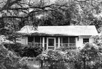
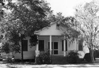
Edward O. Hall House, ca. 1898 - Pivotal to Historic District. View of Front elevation. Pinopolis Historic District South. Pinopolis, S.C.;5" x 7" B/W photo. Box 3, Folder 1-10-1 (II). One copy.
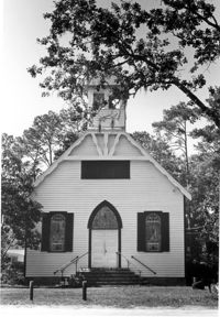
Pinopolis Methodist Church, ca. 1900 - Pivotal to Historic District. View of Front elevation. Pinopolis Historic District South. Pinopolis, S.C.;7" x 5" B/W photo. Box 3, Folder 1-10-1 (II). One copy.
Kate Vincent Waring House (ca. 1913), S. Pinckney Street. View of Front elevation. McClellanville Historic District. McClellanville, S.C.;6.5" x 10" B/W photo. Box 14, Folder 2-10-5. One copy.
James A. Lofton House (ca. 1907), S. Pinckney Street. View of Front elevation. McClellanville Historic District. McClellanville, S.C.;6.5" x 10" B/W photo. Box 14, Folder 2-10-5. One copy.
M.F. Skipper House (ca. 1904), S. Pinckney Street. View of Front elevation. McClellanville Historic District. McClellanville, S.C.;6.5" x 10" B/W photo. Box 14, Folder 2-10-5. One copy.
Old Post Office, ca. 1896 - Pivotal to Historic District. View of Front elevation. Pinopolis, S.C.;5" x 7" B/W photo. Box 3, Folder 1-10-1 (II). One copy.
Old Rectory, ca. 1855 - Pivotal to Historic District. View of Front elevation. Pinopolis Historic District South. Pinopolis, S.C.;5" x 7" B/W photo. Box 3, Folder 1-10-1 (II). One copy.
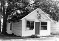
Unidentified Commercial Building (ca. 1930) - Contributory to Historic District. View of Front elevation. McClellanville Historic District. McClellanville, S.C.;6.5" x 10" B/W photo. Box 14, Folder 2-10-5. One copy.
Unidentified House (ca. 1937) - Contributory to Historic District. View of Side and Front elevation. McClellanville Historic District. McClellanville, S.C.;6.5" x 10" B/W photo. Box 14, Folder 2-10-5. One copy.
Unidentified House (ca. 1943) - Contributory to Historic District. View of Side and Front elevation. McClellanville Historic District. McClellanville, S.C.;6.5" x 10" B/W photo. Box 14, Folder 2-10-5. One copy.
Unidentified House (ca. 1945) - Contributory to Historic District. View of Front and Side elevation. McClellanville Historic District. McClellanville, S.C.;6.5" x 10" B/W photo. Box 14, Folder 2-10-5. One copy.
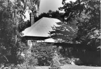
Seaside Plantation (Locksley Hall), off of Cypress Bottom Road. View of South (Front) elevation. Edisto Island, S.C.;8" x 10" B/W photo. Box 11, Folder 2-3-12. One copy.
Unidentified House (ca. post-1922) - Contributory to Historic District. View of Front elevation. McClellanville Historic District. McClellanville, S.C.;6.5" x 10" B/W photo. Box 14, Folder 2-10-5. One copy.
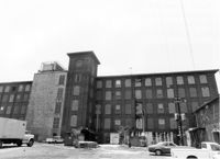
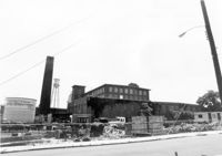
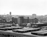
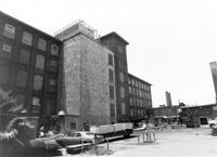
Cigar Factory, 701 East Bay Street. General View of North (Side) elevation (Blake Street in foreground). Charleston, S.C.;7" x 10" B/W photo. Box 9, Folder 2-1-221. One copy.
Unidentified House (ca. 1948) - Contributory to Historic District. View of Front elevation. McClellanville Historic District. McClellanville, S.C.;6.5" x 10" B/W photo. Box 14, Folder 2-10-5. One copy.
Unidentified House (ca. 1947) - Contributory to Historic District. View of Front elevation. McClellanville Historic District. McClellanville, S.C.;6.5" x 10" B/W photo. Box 14, Folder 2-10-5. One copy.
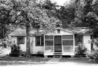
Unidentified House (ca. 20th century) - Non-contributory to Historic District. View of Side and Front elevation. McClellanville Historic District. McClellanville, S.C.;6.5" x 10" B/W photo. Box 14, Folder 2-10-5. Three copies.
Unidentified House (ca. 20th century) - Non-contributory to Historic District. View of Front and Side elevation. McClellanville Historic District. McClellanville, S.C.;6.5" x 10" B/W photo. Box 14, Folder 2-10-5. One copy.
Unidentified House (ca. 20th century) - Non-contributory to Historic District. View of Front elevation. McClellanville Historic District. McClellanville, S.C.;6.5" x 10" B/W photo. Box 14, Folder 2-10-5. One copy.
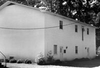
Pinopolis Methodist Church Fellowship Building, ca. Mid 20th century - Non-contributory to Historic District. Front and Side elevations. Pinopolis, S.C.;5" x 7" B/W photo. Box 3, Folder 1-10-1 (II). One copy.
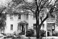
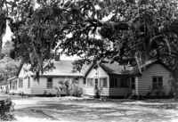
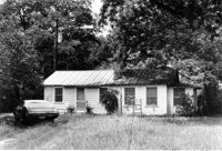
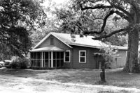
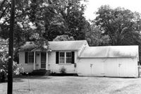
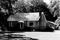
Unidentified House, ca. Mid 20th century - Non-contributory to Historic District. Front and Side elevations. Pinopolis, S.C.;5" x 7" B/W photo. Box 3, Folder 1-10-1 (II). One copy.
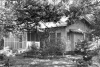
Unidentified House, ca. Mid 20th century - Non-contributory to Historic District. Front and Side elevations. Pinopolis, S.C.;5" x 7" B/W photo. Box 3, Folder 1-10-1 (II). One copy.
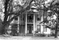
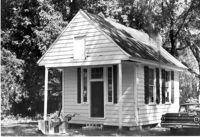
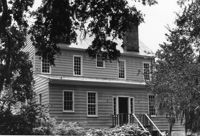
Dr. Morton Waring Office, ca. 1845 - Pivotal to Historic District. View of Front and Side elevations. Pinopolis Historic District South. Pinopolis, S.C.;5" x 7" B/W photo. Box 3, Folder 1-10-1 (II). One copy.
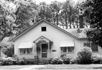
Unidentified House, ca. Mid 20th century - Non-contributory to Historic District. Front elevation. Pinopolis, S.C.;5" x 7" B/W photo. Box 3, Folder 1-10-1 (II). One copy.
Unidentified House, Date Unknown - Non-contributory to Historic District. Front elevation. Pinopolis, S.C.;5" x 7" B/W photo. Box 3, Folder 1-10-1 (II). One copy.
Unidentified House, ca. 1970 - Non-contributory to Historic District. Front elevation. Pinopolis, S.C.;5" x 7" B/W photo. Box 3, Folder 1-10-1 (II). One copy.
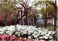
View of Randolph Hall through the fence along College Way. Towell Library on left. Construction of Randolph Hall, the most recognizable building at the College, began in 1828 under the direction of architect William Strickland. Flanking wings and portico for the main building were designed by Edward Brickell White and erected circa 1850. In 1886 the wings were destroyed by the Charleston earthquake and rebuilt between 1888 to 1894 under the direction of Gabriel Manigault.
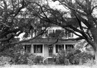
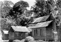
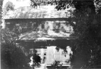
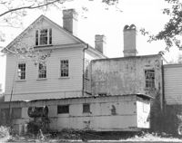
Lucas House, ca. 1835 - Pivotal to Historic District. View of North (Rear) elevation, showing wings and outbuildings. Pinopolis Historic District North. Pinopolis, S.C.;5" x 7" B/W photo. Box 3, Folder 1-10-1 (II). One copy.
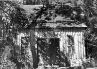
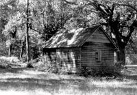
Old Rectory - Outbuilding #2, ca. 1855 - Pivotal to Historic District. View of Front elevation. Pinopolis Historic District South. Pinopolis, S.C.;5" x 7" B/W photo. Box 3, Folder 1-10-1 (II). One copy.
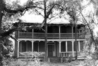
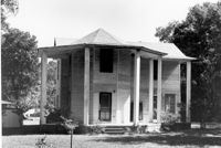
Samuel Porcher Stoney House, ca. 1890 - Pivotal to Historic District. View of Front and Side elevations. Pinopolis, S.C.;5" x 7" B/W photo. Box 3, Folder 1-10-1 (II). Three copies.
Old Rectory - Outbuilding #1, ca. 1855 - Pivotal to Historic District. View of Front elevation. Pinopolis Historic District South. Pinopolis, S.C.;5" x 7" B/W photo. Box 3, Folder 1-10-1 (II). One copy.
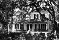
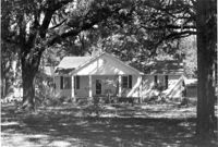
Harriet C. Wilson House, ca. 1905 - Pivotal to Historic District. View of Front elevation. Pinopolis Historic District South. Pinopolis, S.C.;5" x 7" B/W photo. Box 3, Folder 1-10-1 (II). One copy.
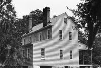
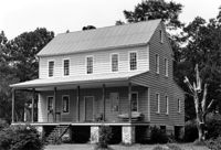
Lucas House, ca. 1835 - Pivotal to Historic District. View of South (Front) elevation. Pinopolis Historic District North. Pinopolis, S.C.;5" x 7" B/W photo. Box 3, Folder 1-10-1 (II). One copy.
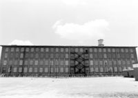
Cigar Factory, 701 East Bay Street. General View of NE (Front and Side) elevation. Charleston, S.C.;8" x 10" B/W photo. Box 9, Folder 2-1-221. One copy.
Cigar Factory, 701 East Bay Street. View of East (Front) elevation, looking North. Charleston, S.C.;7" x 10" B/W photo. Box 9, Folder 2-1-221. One copy.
Barnwell House (Prospect Hill Plantation), Sugar Hill Road. View of East (Side) elevation. Hollywood, S.C.;8" x 10" B/W photo. Box 16, Folder 2-11-5. One copy.